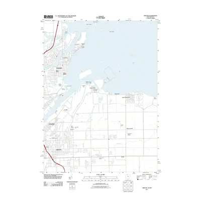
2011 Map of Oregon
USGS Topo · Published 2011About this map
The Maumee River and Lake Erie dominate this 2011 survey, illustrating the complex shoreline and industrial landscape where Toledo meets the water. The map traces the industrial heart of the region through the Homestead Yard and the prominent Presque Isle peninsula, which separates the Maumee Mooring Basin from the open bay. Along the coast, distinct residential pockets like Harbor View, Shore Acres, and Point Place are interspersed with shoreline features such as Morin Point and North Cape.
Find a feature on this map
50 named features on this map. Tap any name to fly to it.
Don’t see what you’re looking for? This feature index may not catch every label — zoom into the map to look around manually.
Map Details
Editions of this 2011 Oregon Map
This is the sole edition of this map. No revisions or reprints were ever made.
Other maps of this area

1900 · Maumee Bay
USGS Topo · 1:62,500

1900 · Toledo
USGS Topo · 1:62,500

1912 · Monroe
USGS Topo · 1:62,500

1912 · Dundee
USGS Topo · 1:62,500

1914 · Monroe
USGS Topo · 1:62,500

1926 · Dundee
USGS Topo · 1:62,500

1934 · Reno Beach
USGS Topo · 1:24,000

1934 · Point Place
USGS Topo · 1:24,000

1934 · Rossford
USGS Topo · 1:24,000

1935 · Walbridge
USGS Topo · 1:24,000