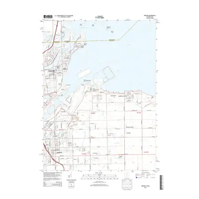
2013 Map of Oregon
USGS Topo · Published 2013About this map
Toledo and Oregon anchor this coastal landscape where the Maumee River meets North Maumee Bay. The survey illustrates a complex interface of industry and recreation along the Lake Erie shoreline, featuring the massive Homestead Yard rail infrastructure alongside established residential pockets like Point Place and Harbor View. The map reveals how drainage systems like Driftmeyer Ditch and Johlin Ditch helped manage the low-lying terrain, facilitating development in places such as Momeneetown and Ironville. Genealogists will find significant value in the documentation of several local burial sites, including Saint Ignatius Catholic Cem and First Saint Johns Lutheran Cem. From the protected wetlands of Maumee Bay State Park to the marinas at Morin Point, the map preserves the character of this Michigan-Ohio border region during the early 21st century.
Find a feature on this map
229 named features on this map. Tap any name to fly to it.
Don’t see what you’re looking for? This feature index may not catch every label — zoom into the map to look around manually.
Map Details
Editions of this 2013 Oregon Map
This is the sole edition of this map. No revisions or reprints were ever made.
Other maps of this area

1900 · Maumee Bay
USGS Topo · 1:62,500

1900 · Toledo
USGS Topo · 1:62,500

1912 · Monroe
USGS Topo · 1:62,500

1912 · Dundee
USGS Topo · 1:62,500

1914 · Monroe
USGS Topo · 1:62,500

1926 · Dundee
USGS Topo · 1:62,500

1934 · Reno Beach
USGS Topo · 1:24,000

1934 · Point Place
USGS Topo · 1:24,000

1934 · Rossford
USGS Topo · 1:24,000

1935 · Walbridge
USGS Topo · 1:24,000