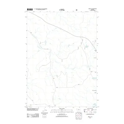
2011 Map of Orella
USGS Topo · Published 2011About this map
Orella sits in a high plains landscape defined by the drainage of Long Branch Creek and prominent geological formations along the Nebraska border. In the early 21st century, the area remains a study in rural land management, where small water impoundments such as Agate Dam Reservoir, Board Gate Dam Reservoir, and Moody Reservoir support the arid environment. The topography is anchored by distinctive elevations like Sugar Loaf Butte, Twin Butte, and the Waldon Hills, which provide clear landmarks across the open terrain. Transportation is limited to a sparse grid of primary routes including Toadstool Rd and Orella Rd, which connect the scattered homesteads and ranching interests of northern Dawes County. This map documents the essential hydrology and land-use patterns of the region, where livestock water sources and high-point landmarks serve as the primary navigation aids.
Find a feature on this map
20 named features on this map. Tap any name to fly to it.
Don’t see what you’re looking for? This feature index may not catch every label — zoom into the map to look around manually.
Map Details
Editions of this 2011 Orella Map
This is the sole edition of this map. No revisions or reprints were ever made.
Other maps of this area

1896 · Oelrichs
USGS Topo · 1:125,000

1900 · Oelrichs
USGS Topo · 1:125,000

1902 · Edgemont
USGS Topo · 1:125,000

1955 · Hot Springs
USGS Topo · 1:250,000

1955 · Alliance
USGS Topo · 1:250,000

1957 · Alliance
USGS Topo · 1:250,000

1958 · Alliance
USGS Topo · 1:250,000

1980 · Horn
USGS Topo · 1:24,000

1980 · Montrose
USGS Topo · 1:24,000

1980 · Wolf Butte
USGS Topo · 1:24,000