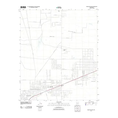
2010 Map of Organ Peak NW
USGS Topo · Published 2010About this map
Las Cruces expansion is evident in this early twenty-first-century survey, which reveals a dense network of residential streets and arterial roads pushing north and east. The landscape is defined by the transition from urban development to the desert floor, where drainage features like Sand Hill Arroyo and the Sand Hill Arroyo Dam manage seasonal water flow. Aviation plays a visible role in the local economy and transportation, with facilities ranging from Waids Airpark to the specialized Spaceport City development.
Find a feature on this map
47 named features on this map. Tap any name to fly to it.
Don’t see what you’re looking for? This feature index may not catch every label — zoom into the map to look around manually.
Map Details
Editions of this 2010 Organ Peak NW Map
This is the sole edition of this map. No revisions or reprints were ever made.
Other maps of this area
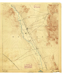
1891 · Las Cruces
USGS Topo · 1:125,000
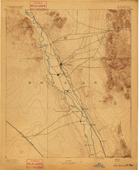
1893 · Las Cruces
USGS Topo · 1:125,000
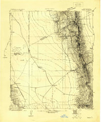
1916 · Tonuco
USGS Topo · 1:125,000
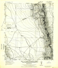
1932 · Tonuco
USGS Topo · 1:125,000
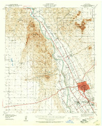
1941 · Las Cruces
USGS Topo · 1:62,500
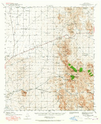
1941 · Organ Peak
USGS Topo · 1:62,500
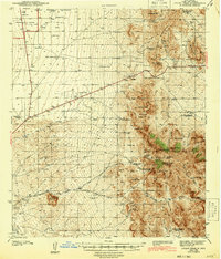
1943 · Organ Peak
USGS Topo · 1:62,500
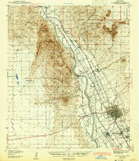
1943 · Las Cruces
USGS Topo · 1:62,500
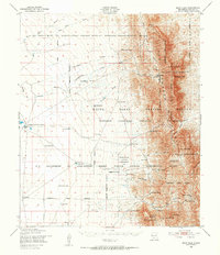
1948 · Bear Peak
USGS Topo · 1:62,500
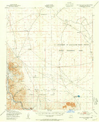
1948 · San Diego Mountain
USGS Topo · 1:62,500