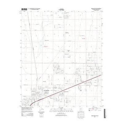
2013 Map of Organ Peak NW
USGS Topo · Published 2013About this map
The northern reaches of Las Cruces meet the arid landscape of the Mesilla Valley in this 2013 study. The geography is defined by a series of drainage systems descending from the mountains, including Hawkeye Canyon and Clark and Brown Canyon, which give way to the Sand Hill Arroyo as they approach the city. The map reveals an interesting mix of established urban development and isolated infrastructure, such as the Shoestring Ranch Airport and the intriguing enclave of Spaceport City. Water management is central to life in this high-desert environment, evidenced by the numerous catchment points like Lake Tank, Washington Tank, and Parker Tank Number 1. This era of the region's history shows a grid of emerging residential streets and rural roads like Shoestring Ranch Rd and El Centro Blvd pushing into the terrain between Baylor Canyon and Blair Canyon.
Find a feature on this map
108 named features on this map. Tap any name to fly to it.
Don’t see what you’re looking for? This feature index may not catch every label — zoom into the map to look around manually.
Map Details
Editions of this 2013 Organ Peak NW Map
This is the sole edition of this map. No revisions or reprints were ever made.
Other maps of this area
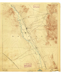
1891 · Las Cruces
USGS Topo · 1:125,000
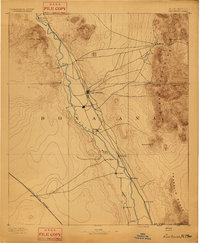
1893 · Las Cruces
USGS Topo · 1:125,000
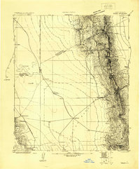
1916 · Tonuco
USGS Topo · 1:125,000
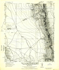
1932 · Tonuco
USGS Topo · 1:125,000
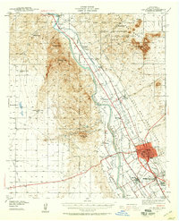
1941 · Las Cruces
USGS Topo · 1:62,500
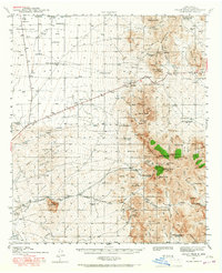
1941 · Organ Peak
USGS Topo · 1:62,500
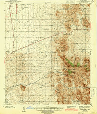
1943 · Organ Peak
USGS Topo · 1:62,500
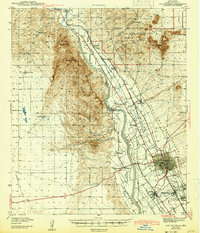
1943 · Las Cruces
USGS Topo · 1:62,500
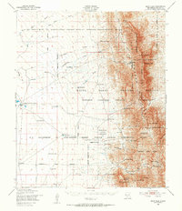
1948 · Bear Peak
USGS Topo · 1:62,500
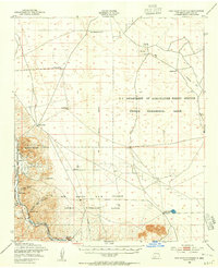
1948 · San Diego Mountain
USGS Topo · 1:62,500