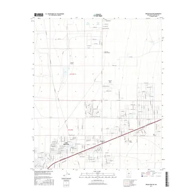
2017 Map of Organ Peak NW
USGS Topo · Published 2017About this map
Las Cruces expansion and the developed residential grids east of the city core define this high-desert landscape in the late 2010s. The map captures a transition from urbanized street layouts such as Spaceport City and Midnight Shadow Acres into the drainage-veined terrain of the Organ Mountains foothills. Numerous water management features like Lake Tank, Hiblar Tank, and Parker Tank Number 2 dot the alluvial plains, illustrating the critical infrastructure required for settlement in this arid environment. The landscape is deeply etched by significant drainage ways, including Sand Hill Arroyo, while the eastern portion of the sheet rises into the rugged topography of Baylor Canyon and Blair Canyon. This era shows a complex network of established roads like N Jornada Rd and newer developments such as Shoestring Ranch Airport, reflecting the area's continued growth as a regional hub.
Find a feature on this map
210 named features on this map. Tap any name to fly to it.
Don’t see what you’re looking for? This feature index may not catch every label — zoom into the map to look around manually.
Map Details
Editions of this 2017 Organ Peak NW Map
This is the sole edition of this map. No revisions or reprints were ever made.
Other maps of this area
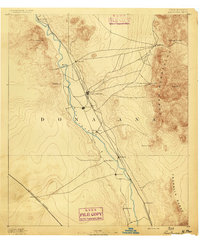
1891 · Las Cruces
USGS Topo · 1:125,000
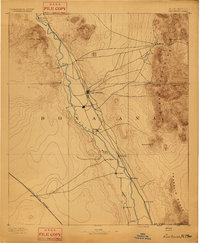
1893 · Las Cruces
USGS Topo · 1:125,000
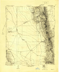
1916 · Tonuco
USGS Topo · 1:125,000
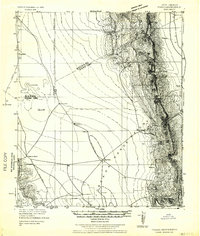
1932 · Tonuco
USGS Topo · 1:125,000
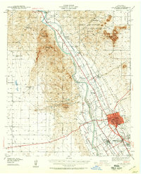
1941 · Las Cruces
USGS Topo · 1:62,500
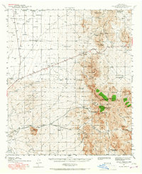
1941 · Organ Peak
USGS Topo · 1:62,500
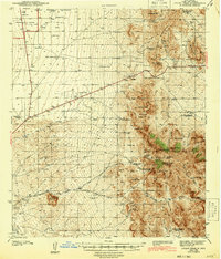
1943 · Organ Peak
USGS Topo · 1:62,500
1943 · Las Cruces
USGS Topo · 1:62,500
1948 · Bear Peak
USGS Topo · 1:62,500
1948 · San Diego Mountain
USGS Topo · 1:62,500