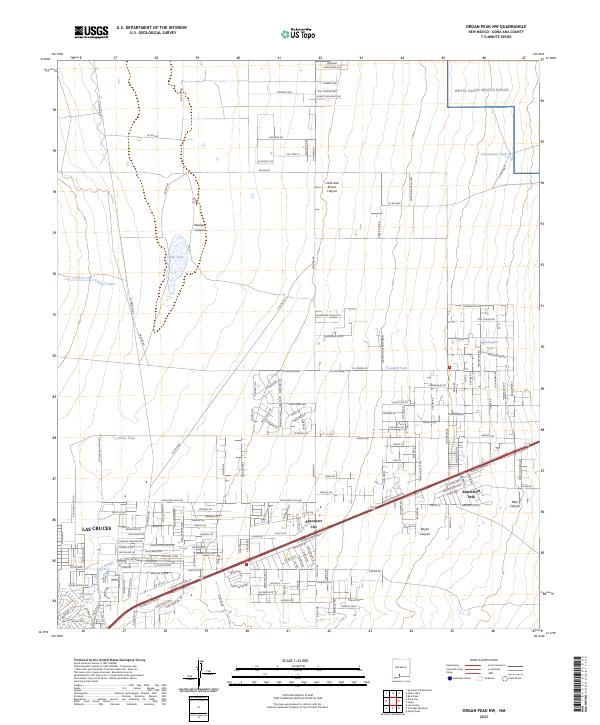
2023 Map of Organ Peak NW
USGS Topo · Published 2023About this map
Las Cruces sprawls toward the base of the Organ Mountains in this contemporary topographic record of New Mexico’s high desert landscape. The map captures a transitional zone where residential development, including the community of Spaceport City, meets the expansive protected lands of the Organ Mountains-Desert Peaks National Monument. Transportation is defined by the heavy thoroughfare of Bataan Memorial W and Bataan Memorial E, which serve as the primary conduits through Butterfield Park towards the more rugged terrain to the east.
Find a feature on this map
88 named features on this map. Tap any name to fly to it.
Don’t see what you’re looking for? This feature index may not catch every label — zoom into the map to look around manually.
Map Details
Editions of this 2023 Organ Peak NW Map
This is the sole edition of this map. No revisions or reprints were ever made.
Other maps of this area

1891 · Las Cruces
USGS Topo · 1:125,000

1893 · Las Cruces
USGS Topo · 1:125,000

1916 · Tonuco
USGS Topo · 1:125,000

1932 · Tonuco
USGS Topo · 1:125,000

1941 · Las Cruces
USGS Topo · 1:62,500

1941 · Organ Peak
USGS Topo · 1:62,500

1943 · Organ Peak
USGS Topo · 1:62,500

1943 · Las Cruces
USGS Topo · 1:62,500

1948 · Bear Peak
USGS Topo · 1:62,500

1948 · San Diego Mountain
USGS Topo · 1:62,500