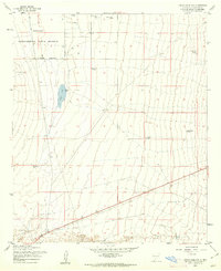
1955 Map of Organ Peak NW
USGS Topo · Published 1962About this map
The Jornada Experimental Range Reserve dominates this high-desert landscape in Doña Ana County during the mid-1950s. This land, managed for agricultural and scientific research, is defined by its arid character and the essential infrastructure required for water management in the Jornada region. The map reveals a network of water catchment features, primarily designated as tanks, which served both the experimental range and local ranching interests.
Find a feature on this map
18 named features on this map. Tap any name to fly to it.
Don’t see what you’re looking for? This feature index may not catch every label — zoom into the map to look around manually.
Map Details
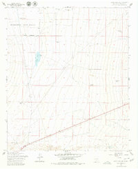
Editions of this 1955 Organ Peak NW Map
2 editions found
Other maps of this area

1891 · Las Cruces
USGS Topo · 1:125,000

1893 · Las Cruces
USGS Topo · 1:125,000

1916 · Tonuco
USGS Topo · 1:125,000

1932 · Tonuco
USGS Topo · 1:125,000

1941 · Las Cruces
USGS Topo · 1:62,500

1941 · Organ Peak
USGS Topo · 1:62,500

1943 · Organ Peak
USGS Topo · 1:62,500

1943 · Las Cruces
USGS Topo · 1:62,500

1948 · Bear Peak
USGS Topo · 1:62,500

1948 · San Diego Mountain
USGS Topo · 1:62,500