Loading...
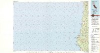
Loading map...1952 Map of Orick
USGS Topo · Published 1964About this map
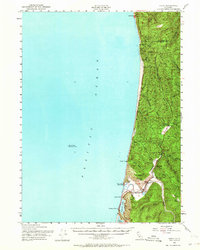
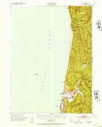
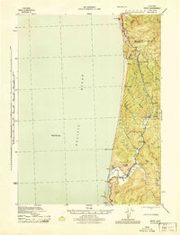
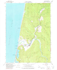
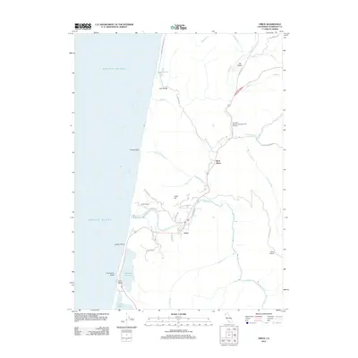
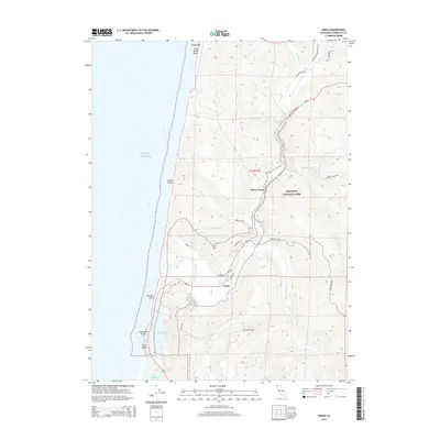
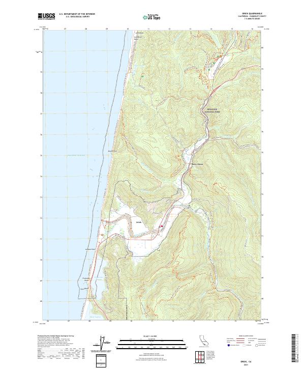
Orick stands as the central settlement in this coastal survey, situated near the confluence of Redwood Creek and the Pacific. The landscape is defined by its dramatic transition from the Pacific Ocean to the dense coastal timberlands, punctuated by distinctive coastal features like Freshwater Lagoon and Stone Lagoon. Inland, the Redwood Highway serves as the primary artery through the region, passing by Berry Glenn and the Elk Grove (Park Headquarters).
Find a feature on this map
29 named features on this map. Tap any name to fly to it.
Don’t see what you’re looking for? This feature index may not catch every label — zoom into the map to look around manually.
Map Details
Date Portrayed1952
Date Published1964
PublisherU.S. Geological Survey
Map TypeTopographic
Scale1:62,500
Physical Dimensions16.6 x 20.8 inches
Editions of this 1952 Orick Map
2 editions found
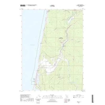
Historical Maps of Orick Through Time
8 maps found
Featured Locations
Source Details
SourceU.S. Geological Survey
CopyrightPublic Domain