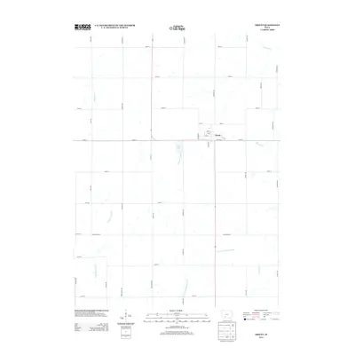
2013 Map of Orient
USGS Topo · Published 2013About this map
Orient stands as the central hub of this Iowa agricultural landscape, situated at the junction of Co Hwy P17 and 310th St. The town's grid is clearly defined by local streets such as E Division St and S Maple St, providing a clear view of its layout in the early 21st century. The surrounding terrain is heavily defined by its drainage systems, most notably the E Nodaway River and its various tributaries that carve through the sections of farmland.
Find a feature on this map
48 named features on this map. Tap any name to fly to it.
Don’t see what you’re looking for? This feature index may not catch every label — zoom into the map to look around manually.
Map Details
Editions of this 2013 Orient Map
This is the sole edition of this map. No revisions or reprints were ever made.
Other maps of this area

1954 · Greenfield
USGS Topo · 1:62,500

1954 · Omaha
USGS Topo · 1:250,000

1957 · Omaha
USGS Topo · 1:250,000

1958 · Omaha
USGS Topo · 1:250,000

1971 · Fontanelle
USGS Topo · 1:24,000

1980 · Nevinville
USGS Topo · 1:24,000

1980 · Creston East
USGS Topo · 1:24,000
1980 · Prescott
USGS Topo · 1:24,000

1981 · Zion
USGS Topo · 1:24,000
1981 · Orient
USGS Topo · 1:24,000