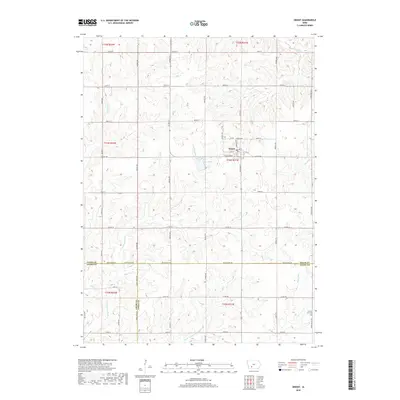
2018 Map of Orient
USGS Topo · Published 2018About this map
Orient stands at the heart of this landscape in southwestern Iowa, situated where the northern edge of the E Nodaway River valley meets the surrounding agricultural uplands. The town's grid is bounded by W Division St and School St, with local history anchored at the Orient Cem just to the northeast. The geography is defined by a dense network of waterways draining toward the southwest, including Shanghai Cr, Threemile Cr, and the broader Platte River basin in the southeast corner. The presence of Lake Orient provides a central landmark just south of the town site. The terrain transition is marked by the meeting of three counties—Adair, Adams, and Union—highlighted by the boundary lines along Adair-Adams Ave and Adair-Union Ave, reflecting the rural section-line road system that has organized this farming country for generations.
Find a feature on this map
51 named features on this map. Tap any name to fly to it.
Don’t see what you’re looking for? This feature index may not catch every label — zoom into the map to look around manually.
Map Details
Editions of this 2018 Orient Map
This is the sole edition of this map. No revisions or reprints were ever made.
Other maps of this area
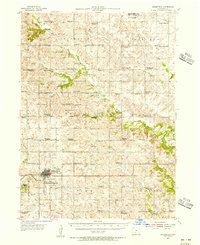
1954 · Greenfield
USGS Topo · 1:62,500

1954 · Omaha
USGS Topo · 1:250,000

1957 · Omaha
USGS Topo · 1:250,000

1958 · Omaha
USGS Topo · 1:250,000
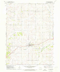
1971 · Fontanelle
USGS Topo · 1:24,000
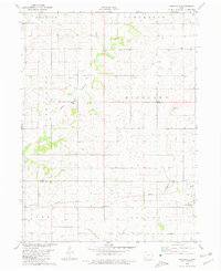
1980 · Nevinville
USGS Topo · 1:24,000
1980 · Creston East
USGS Topo · 1:24,000
1980 · Prescott
USGS Topo · 1:24,000
1981 · Zion
USGS Topo · 1:24,000
1981 · Orient
USGS Topo · 1:24,000