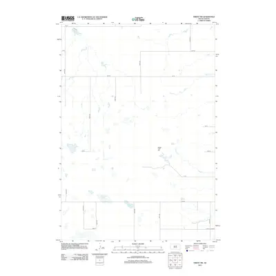
2012 Map of Orient NW
USGS Topo · Published 2012About this map
Sugar Loaf Hill rises above the glacial plains of Faulk County in this 2012 survey, providing a prominent landmark in a landscape defined by seasonal wetlands and drainage creeks. The territory is marked by several named water bodies including Vogeler Lake in the far northwest and the centrally located Matter Lake. The drainage network is largely tied to Bryant Cr and Gooder Cr, which wind through the township sections alongside a grid of rural avenues and streets. Local land features like Huss Spring and Horseshoe Lake suggest the historical importance of reliable water sources for agriculture and livestock in this portion of South Dakota. The map captures the strictly organized section-line road system, including 350th Ave and 170th St, typical of the Great Plains' rural infrastructure.
Find a feature on this map
25 named features on this map. Tap any name to fly to it.
Don’t see what you’re looking for? This feature index may not catch every label — zoom into the map to look around manually.
Map Details
Editions of this 2012 Orient NW Map
This is the sole edition of this map. No revisions or reprints were ever made.
Other maps of this area

1950 · Rezac Lake NE
USGS Topo · 1:24,000

1950 · Rezac Lake
USGS Topo · 1:24,000

1951 · Rezac Lake NE
USGS Topo · 1:24,000

1951 · Orient
USGS Topo · 1:24,000

1951 · Orient SW
USGS Topo · 1:24,000

1951 · Rezac Lake
USGS Topo · 1:24,000

1951 · Polo
USGS Topo · 1:24,000

1951 · Orient NW
USGS Topo · 1:24,000

1952 · Burkmere
USGS Topo · 1:24,000

1952 · Faulkton West
USGS Topo · 1:24,000