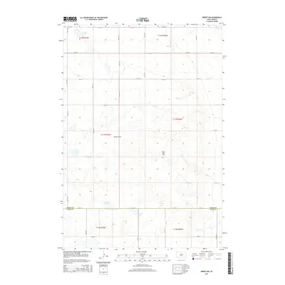
2015 Map of Orient NW
USGS Topo · Published 2015About this map
Sugar Loaf Hill stands as a prominent landmark in this prairie landscape, situated near the boundary between Faulk and Hand counties. The terrain is defined by a network of seasonal watercourses and basins, including Vogeler Draw which feeds toward the north. A series of localized water bodies like Vogeler Lake, Horseshoe Lake, and Matter Lake dot the township divisions, reflecting the hydrologic character of the Great Plains.
Find a feature on this map
31 named features on this map. Tap any name to fly to it.
Don’t see what you’re looking for? This feature index may not catch every label — zoom into the map to look around manually.
Map Details
Editions of this 2015 Orient NW Map
This is the sole edition of this map. No revisions or reprints were ever made.
Other maps of this area
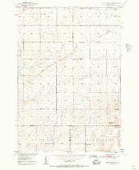
1950 · Rezac Lake NE
USGS Topo · 1:24,000
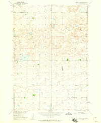
1950 · Rezac Lake
USGS Topo · 1:24,000
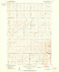
1951 · Rezac Lake NE
USGS Topo · 1:24,000
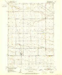
1951 · Orient
USGS Topo · 1:24,000
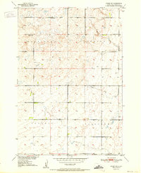
1951 · Orient SW
USGS Topo · 1:24,000
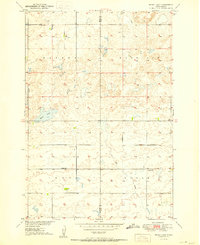
1951 · Rezac Lake
USGS Topo · 1:24,000
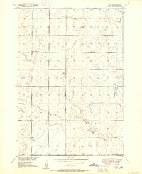
1951 · Polo
USGS Topo · 1:24,000
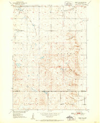
1951 · Orient NW
USGS Topo · 1:24,000
1952 · Burkmere
USGS Topo · 1:24,000
1952 · Faulkton West
USGS Topo · 1:24,000