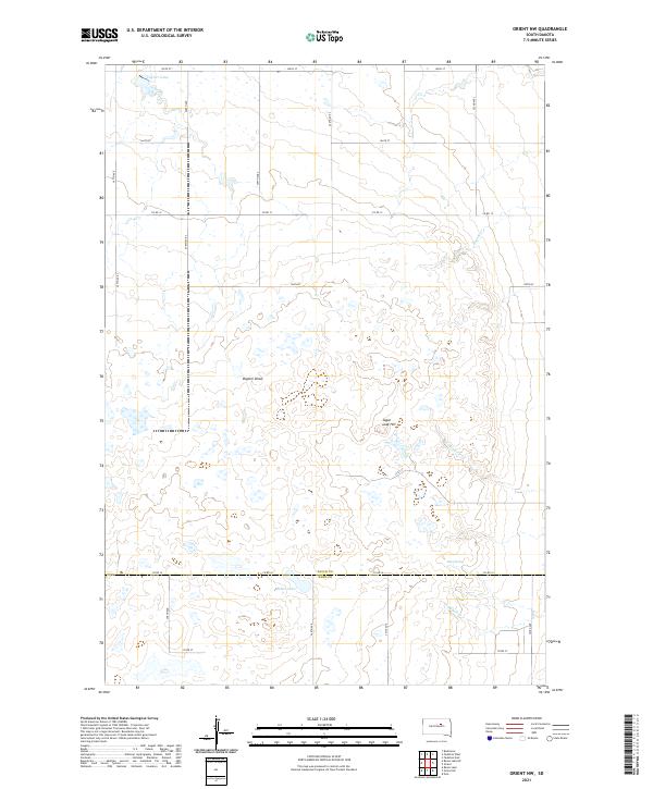
2021 Map of Orient NW
USGS Topo · Published 2021About this map
Sugar Loaf Hill rises above a glaciated landscape defined by seasonal wetlands and a network of ephemeral drainage basins in this contemporary survey of the Faulk and Hand County border. The terrain is characterized by its agricultural grid, where section lines are marked by roads like Co Rd 12 and 350th Ave, cutting through a topography of prairie potholes and draws. Water features are the primary landmarks, ranging from the localized Huss Spring to larger basins such as Vogeler Lake and Matter Lake. The presence of Vogeler Draw and creeks like Gooder Cr and Bryant Cr illustrate the subtle hydrology that dictates land use in this rural interior. This map provides a precise view of the modern rural infrastructure, showing how township lines and range divisions continue to organize the sparsely populated Great Plains landscape.
Find a feature on this map
32 named features on this map. Tap any name to fly to it.
Don’t see what you’re looking for? This feature index may not catch every label — zoom into the map to look around manually.
Map Details
Editions of this 2021 Orient NW Map
This is the sole edition of this map. No revisions or reprints were ever made.
Other maps of this area

1950 · Rezac Lake NE
USGS Topo · 1:24,000

1950 · Rezac Lake
USGS Topo · 1:24,000

1951 · Rezac Lake NE
USGS Topo · 1:24,000

1951 · Orient
USGS Topo · 1:24,000

1951 · Orient SW
USGS Topo · 1:24,000

1951 · Rezac Lake
USGS Topo · 1:24,000

1951 · Polo
USGS Topo · 1:24,000

1951 · Orient NW
USGS Topo · 1:24,000

1952 · Burkmere
USGS Topo · 1:24,000

1952 · Faulkton West
USGS Topo · 1:24,000