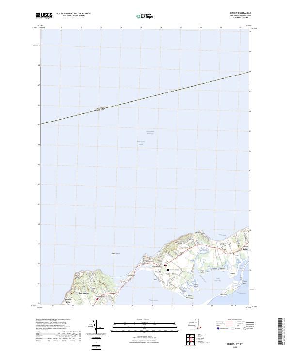
2023 Map of Orient
USGS Topo · Published 2023About this map
Orient and East Marion anchor this maritime landscape on the North Fork of Long Island, where the land narrows toward its eastern terminus. The local geography is defined by a series of points and bights, including Peters Neck Point and Pettys Bight, which separate the waters of Orient Harbor from the Long Island Sound. The map reveals a high concentration of historical burial sites, such as Orient Central Cem, Terry Hill Cem, and East Marion Cem, which serve as vital markers for genealogical research in these long-established communities.
Find a feature on this map
63 named features on this map. Tap any name to fly to it.
Don’t see what you’re looking for? This feature index may not catch every label — zoom into the map to look around manually.
Map Details
Editions of this 2023 Orient Map
This is the sole edition of this map. No revisions or reprints were ever made.
Other maps of this area

1892 · New London
USGS Topo · 1:62,500

1893 · New London
USGS Topo · 1:62,500

1893 · Saybrook
USGS Topo · 1:62,500

1903 · Gardiners Island
USGS Topo · 1:62,500

1904 · Shelter Island
USGS Topo · 1:62,500

1904 · Gardiners Island
USGS Topo · 1:62,500

1921 · Gardiners Island
USGS Topo · 1:62,500

1921 · New London
USGS Topo · 1:62,500

1934 · Niantic
USGS Topo · 1:24,000

1938 · Niantic
USGS Topo · 1:62,500