Loading...
Loading map...1956 Map of Orient
USGS Topo · Published 1974About this map
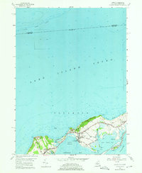
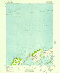
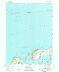
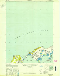
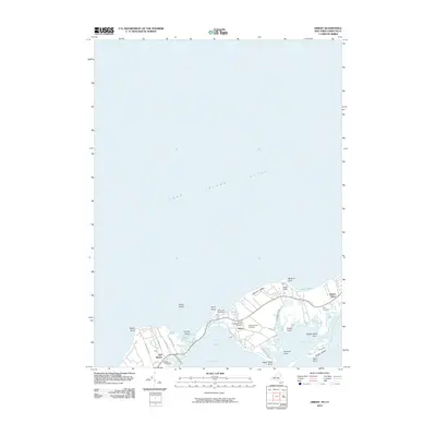
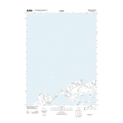
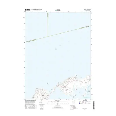
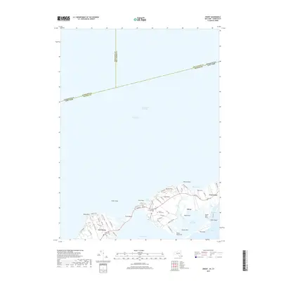
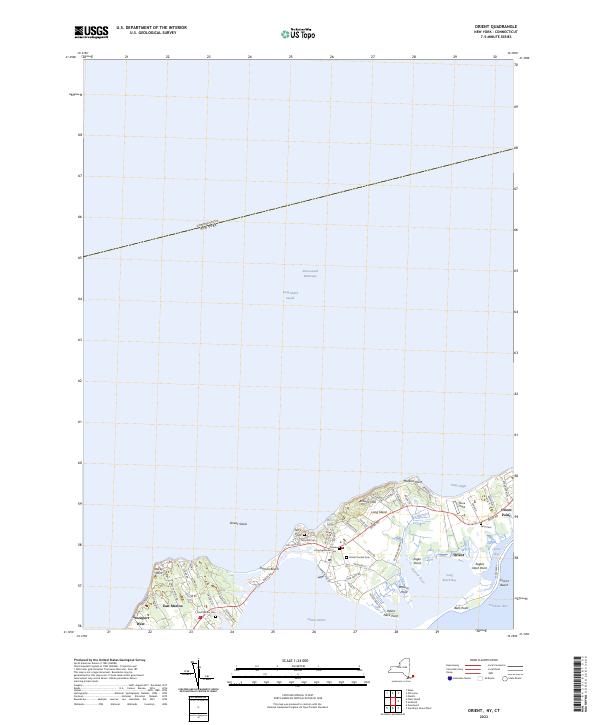
Orient and East Marion anchor this maritime landscape on the North Fork of Long Island as it appeared in the mid-1950s. The geography is defined by its relationship with the water, from the vast Long Island Sound to the north to the sheltered waters of Orient Harbor and Gardiners Bay. A narrow finger of land extends eastward into Orient Beach State Park, separating Little Bay from the larger sound.
Find a feature on this map
43 named features on this map. Tap any name to fly to it.
Don’t see what you’re looking for? This feature index may not catch every label — zoom into the map to look around manually.
Map Details
Date Portrayed1956
Date Published1974
PublisherU.S. Geological Survey
Map TypeTopographic
Scale1:24,000
Physical Dimensions22.1 x 26.9 inches
Editions of this 1956 Orient Map
3 editions found
Historical Maps of Southold Through Time
7 maps found
Featured Locations
Source Details
SourceU.S. Geological Survey
CopyrightPublic Domain