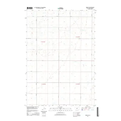
2015 Map of Orient SW
USGS Topo · Published 2015About this map
Matter Cr and Shaefer Cr define the subtle drainage patterns of this Hand County landscape, where the prairie is organized into a precise grid of section lines and gravel roads. Located in the eastern reaches of the state, the area is characterized by a low-density rural economy, illustrated by long-standing routes like Blachford Ranch Rd. This 2015 survey reflects the enduring structure of South Dakota's township system, specifically within t116n r69w and its neighbors. The map serves as a detailed record of contemporary land use, showing a topography dotted with small depressions and intermittent water features typical of the region. Local transit is managed through a network of numbered corridors, such as 174th St and 353rd Ave, which connect the few homesteads and ranches that anchor this portion of the Orient SW quadrangle.
Find a feature on this map
20 named features on this map. Tap any name to fly to it.
Don’t see what you’re looking for? This feature index may not catch every label — zoom into the map to look around manually.
Map Details
Editions of this 2015 Orient SW Map
This is the sole edition of this map. No revisions or reprints were ever made.
Other maps of this area
1949 · Ree Heights NW
USGS Topo · 1:24,000
1950 · Highmore NE
USGS Topo · 1:24,000
1950 · Rezac Lake NE
USGS Topo · 1:24,000
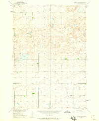
1950 · Rezac Lake
USGS Topo · 1:24,000
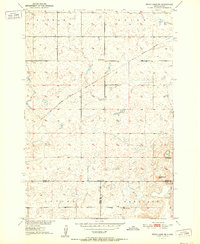
1951 · Rezac Lake NE
USGS Topo · 1:24,000
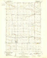
1951 · Orient
USGS Topo · 1:24,000
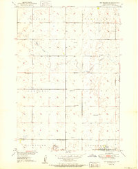
1951 · Ree Heights NW
USGS Topo · 1:24,000
1951 · Orient SW
USGS Topo · 1:24,000
1951 · Rezac Lake
USGS Topo · 1:24,000
1951 · Polo
USGS Topo · 1:24,000