
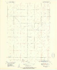
1951 Map of Ree Heights NW
USGS Topo · Published 1951About this map
The northern prairies of Hand County are defined here by a series of rural townships including Ontario, Fairview, and Campbell. At the turn of the 1950s, this landscape was organized around a network of one-room schoolhouses that served as the primary social hubs for scattered farming families, including Van Zee Sch, East Campbell Sch, and Steptoe Sch. The topography is marked by numerous small depressions and drainage systems like Lost Creek and Wolf Creek, which flow toward the southern edge of the sheet.
Find a feature on this map
17 named features on this map. Tap any name to fly to it.
Don’t see what you’re looking for? This feature index may not catch every label — zoom into the map to look around manually.
Map Details
Editions of this 1951 Ree Heights NW Map
2 editions found
Other maps of this area

1949 · Ree Heights NW
USGS Topo · 1:24,000

1950 · Ree Heights SE
USGS Topo · 1:24,000

1950 · Highmore NE
USGS Topo · 1:24,000

1950 · Ree Heights
USGS Topo · 1:24,000

1950 · Highmore SE
USGS Topo · 1:24,000

1950 · Rezac Lake
USGS Topo · 1:24,000

1951 · Orient SW
USGS Topo · 1:24,000

1951 · Rezac Lake
USGS Topo · 1:24,000

1951 · Polo
USGS Topo · 1:24,000

1951 · Ree Heights NE
USGS Topo · 1:24,000