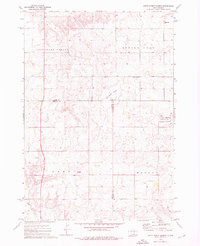
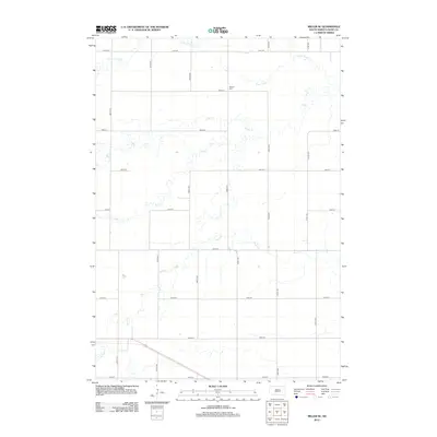
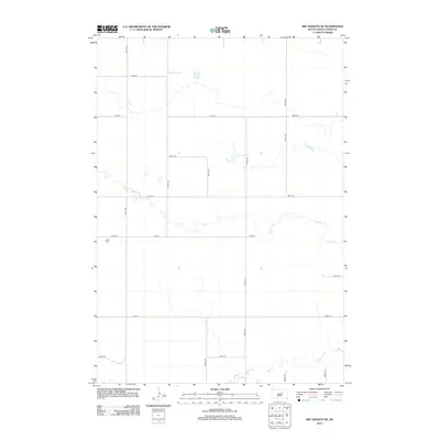
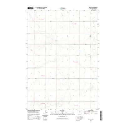
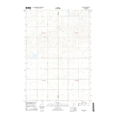
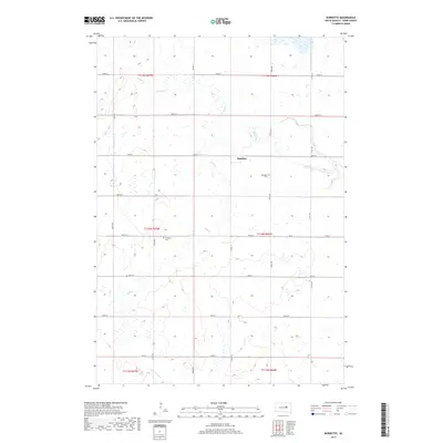
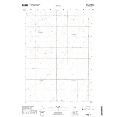
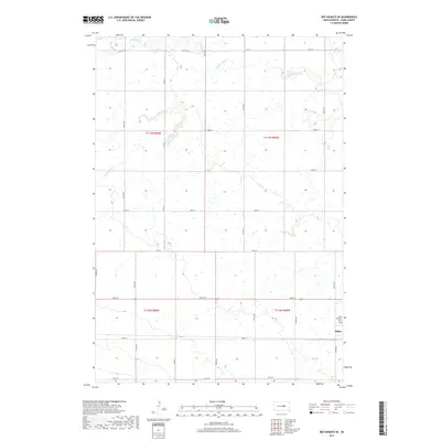
1949 Map of Ree Heights NW
USGS Topo · Published 1967About this map
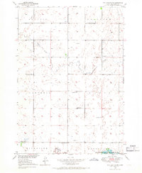
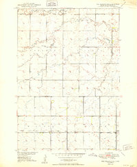
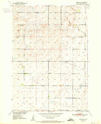
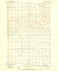
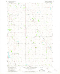
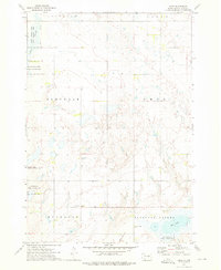
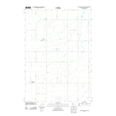
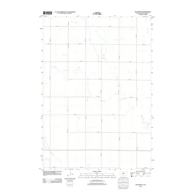
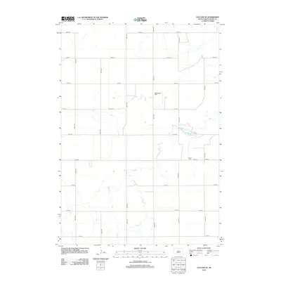
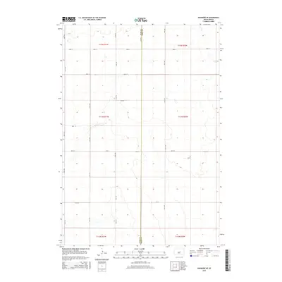
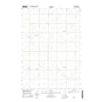
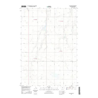
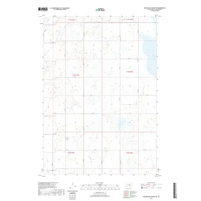
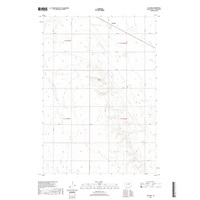
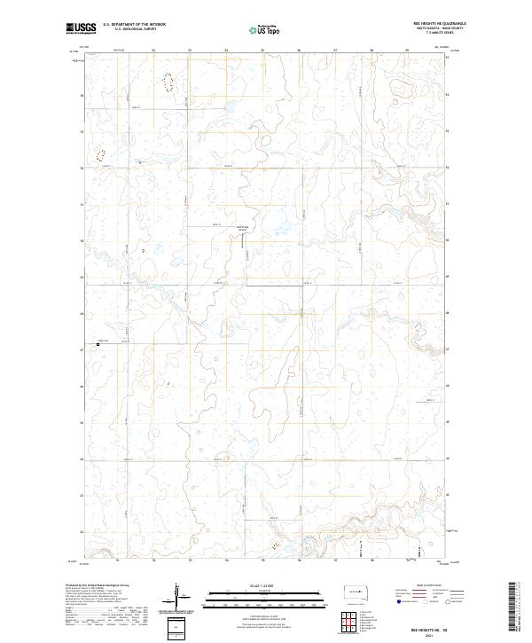
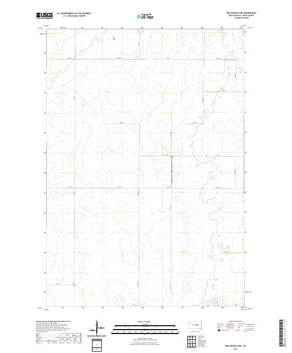
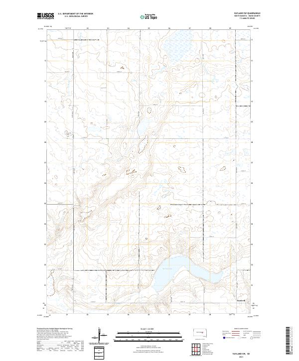
Lake Louise Recreational Area and Wildlife Refuge anchors the southern portion of this 1949 topographic study, where the waters of Lake Louise and Wolf Creek dominate a landscape otherwise characterized by township sections and rural school districts. The placement of schools such as Van Zee Sch, East Campbell Sch, and Steptoe Sch reflects the mid-century agrarian settlement pattern of Hand County, where local education was dispersed to serve family farms. Multiple instances of a Flowing Well suggest the importance of groundwater management in this part of South Dakota. The map also delineates drainage patterns via Lost Creek and establishes the boundaries of rural townships including Ontario, Fairview, Campbell, Alden, Riverside, and Greenleaf, providing a clear view of the area's civil organization before modern consolidation changed the rural footprint.
Find a feature on this map
19 named features on this map. Tap any name to fly to it.
Don’t see what you’re looking for? This feature index may not catch every label — zoom into the map to look around manually.
Map Details
Editions of this 1949 Ree Heights NW Map
This is the sole edition of this map. No revisions or reprints were ever made.
Historical Maps of Hand County Through Time
109 maps found
1949 Ree Heights NW
Hand County, SD
1949 Vayland SE
Hand County, SD
1949 Vayland SW
Hand County, SD
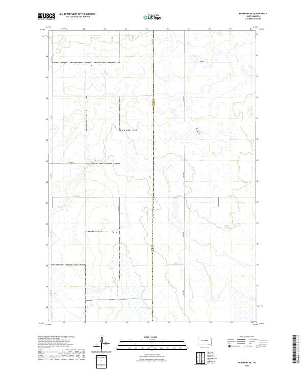
1950 Highmore NE
Hand County, SD
1950 Ree Heights SE
Hand County, SD
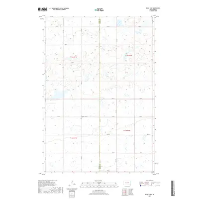
1950 Rezac Lake
Hand County, SD
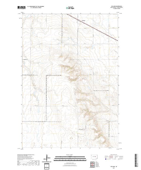
1950 Vayland
Hand County, SD
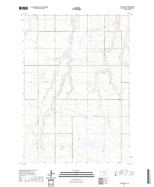
1950 Vayland NW
Hand County, SD
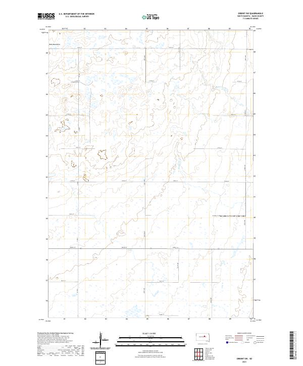
1951 Orient SW
Hand County, SD
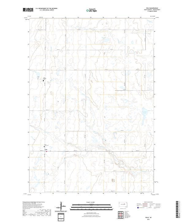
1951 Polo
Hand County, SD
1951 Ree Heights NE
Hand County, SD
1951 Ree Heights NW
Hand County, SD
1951 Rezac Lake
Hand County, SD
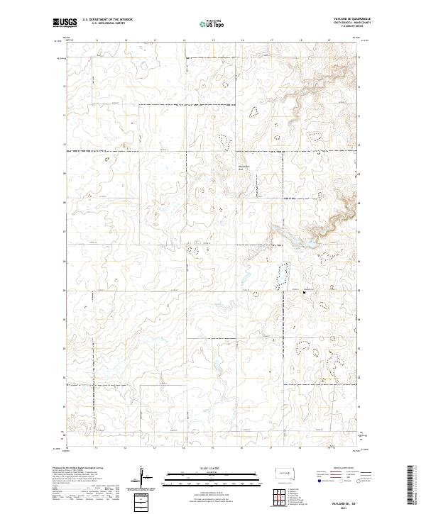
1951 Vayland SE
Hand County, SD
1951 Vayland SW
Hand County, SD
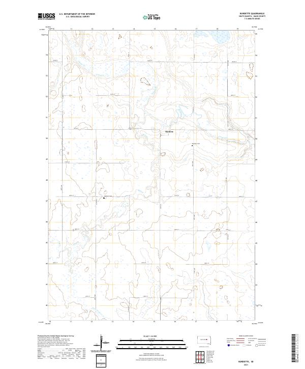
1966 Burdette
Hand County, SD
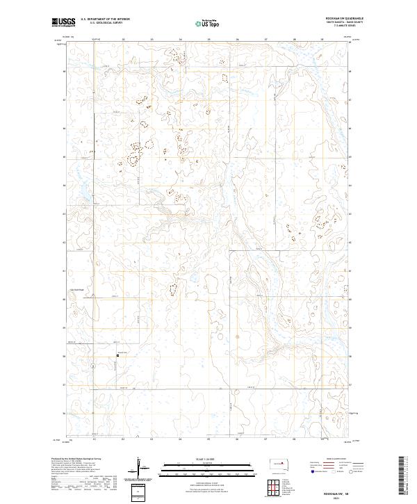
1966 Rockham SE
Hand County, SD
1966 Rockham SW
Hand County, SD
1967 Miller NW
Hand County, SD
1967 Miller SE
Hand County, SD
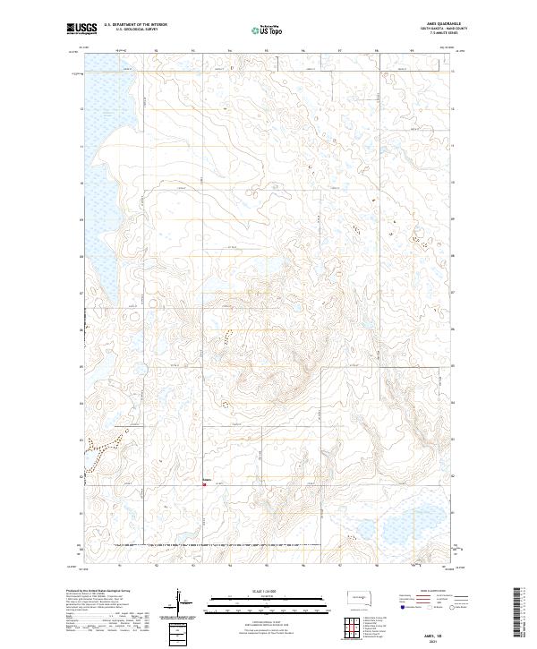
1973 Ames
Hand County, SD
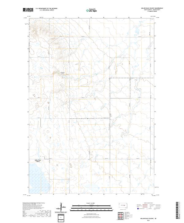
1973 Miller Dale Colony
Hand County, SD
1973 Miller Dale Colony NW
Hand County, SD
1973 Miller Dale Colony SW
Hand County, SD
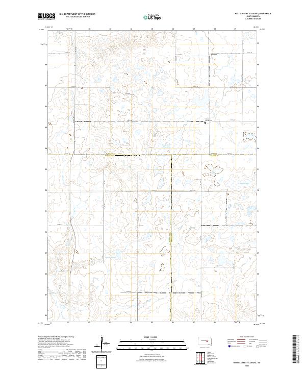
1973 Mittelstedt Slough
Hand County, SD
2012 Ames
Hand County, SD
2012 Burdette
Hand County, SD
2012 Highmore NE
Hand County, SD
2012 Miller Dale Colony
Hand County, SD
2012 Miller Dale Colony NW
Hand County, SD
2012 Miller Dale Colony SW
Hand County, SD
2012 Miller NW
Hand County, SD
2012 Miller SE
Hand County, SD
2012 Mittelstedt Slough
Hand County, SD
2012 Orient SW
Hand County, SD
2012 Polo
Hand County, SD
2012 Ree Heights NE
Hand County, SD
2012 Ree Heights NW
Hand County, SD
2012 Ree Heights SE
Hand County, SD
2012 Rezac Lake
Hand County, SD
2012 Rockham SE
Hand County, SD
2012 Rockham SW
Hand County, SD
2012 Vayland
Hand County, SD
2012 Vayland NW
Hand County, SD
2012 Vayland SE
Hand County, SD
2012 Vayland SW
Hand County, SD
2015 Ames
Hand County, SD
2015 Burdette
Hand County, SD
2015 Highmore NE
Hand County, SD
2015 Miller Dale Colony
Hand County, SD
2015 Miller Dale Colony NW
Hand County, SD
2015 Miller Dale Colony SW
Hand County, SD
2015 Miller NW
Hand County, SD
2015 Miller SE
Hand County, SD
2015 Mittelstedt Slough
Hand County, SD
2015 Orient SW
Hand County, SD
2015 Polo
Hand County, SD
2015 Ree Heights NE
Hand County, SD
2015 Ree Heights NW
Hand County, SD
2015 Ree Heights SE
Hand County, SD
2015 Rezac Lake
Hand County, SD
2015 Rockham SE
Hand County, SD
2015 Rockham SW
Hand County, SD
2015 Vayland
Hand County, SD
2015 Vayland NW
Hand County, SD
2015 Vayland SE
Hand County, SD
2015 Vayland SW
Hand County, SD
2017 Ames
Hand County, SD
2017 Burdette
Hand County, SD
2017 Highmore NE
Hand County, SD
2017 Miller Dale Colony
Hand County, SD
2017 Miller Dale Colony NW
Hand County, SD
2017 Miller Dale Colony SW
Hand County, SD
2017 Miller NW
Hand County, SD
2017 Miller SE
Hand County, SD
2017 Mittelstedt Slough
Hand County, SD
2017 Orient SW
Hand County, SD
2017 Polo
Hand County, SD
2017 Ree Heights NE
Hand County, SD
2017 Ree Heights NW
Hand County, SD
2017 Ree Heights SE
Hand County, SD
2017 Rezac Lake
Hand County, SD
2017 Rockham SE
Hand County, SD
2017 Rockham SW
Hand County, SD
2017 Vayland
Hand County, SD
2017 Vayland NW
Hand County, SD
2017 Vayland SE
Hand County, SD
2017 Vayland SW
Hand County, SD
2021 Ames
Hand County, SD
2021 Burdette
Hand County, SD
2021 Highmore NE
Hand County, SD
2021 Miller Dale Colony
Hand County, SD
2021 Miller Dale Colony NW
Hand County, SD
2021 Miller Dale Colony SW
Hand County, SD
2021 Miller NW
Hand County, SD
2021 Miller SE
Hand County, SD
2021 Mittelstedt Slough
Hand County, SD
2021 Orient SW
Hand County, SD
2021 Polo
Hand County, SD
2021 Ree Heights NE
Hand County, SD
2021 Ree Heights NW
Hand County, SD
2021 Ree Heights SE
Hand County, SD
2021 Rezac Lake
Hand County, SD
2021 Rockham SE
Hand County, SD
2021 Rockham SW
Hand County, SD
2021 Vayland
Hand County, SD
2021 Vayland NW
Hand County, SD
2021 Vayland SE
Hand County, SD
2021 Vayland SW
Hand County, SD