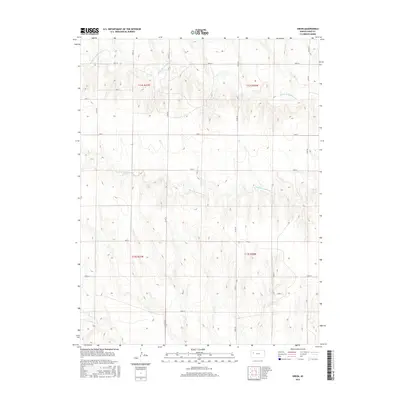
2015 Map of Orion
USGS Topo · Published 2015About this map
The High Plains of Gove County are defined here by the intricate drainage systems of the Hackberry Creek watershed. The landscape is carved by the Middle Br Hackberry Cr and the South Br Hackberry Cr, which flow eastward across the terrain. Farther south, Plum Cr cuts through the lower sections of the survey. This 2015 U.S. Geological Survey representation details a strictly organized agricultural grid, where section lines are mirrored by a network of local roads such as Gove W, Gove S, and Gove N. The spatial distribution of these roads, including Co Rd 18 and Co Rd 22, reflects the enduring Public Land Survey System structure that has governed Kansas land division since the nineteenth century, illustrating how transport and property lines remain bound to the township and range system.
Find a feature on this map
19 named features on this map. Tap any name to fly to it.
Don’t see what you’re looking for? This feature index may not catch every label — zoom into the map to look around manually.
Map Details
Editions of this 2015 Orion Map
This is the sole edition of this map. No revisions or reprints were ever made.
Other maps of this area

1954 · Goodland
USGS Topo · 1:250,000

1955 · Scott City
USGS Topo · 1:250,000

1956 · Goodland
USGS Topo · 1:250,000

1957 · Goodland
USGS Topo · 1:250,000

1958 · Scott City
USGS Topo · 1:250,000
1972 · Orion NE
USGS Topo · 1:24,000
1972 · Orion
USGS Topo · 1:24,000
1972 · Elkader NE
USGS Topo · 1:24,000
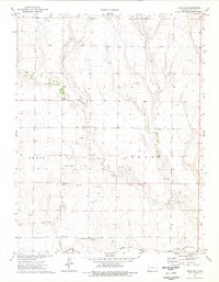
1974 · Orion SE
USGS Topo · 1:24,000
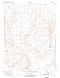
1974 · Elkader
USGS Topo · 1:24,000