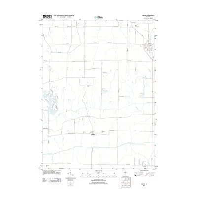
2012 Map of Orion
USGS Topo · Published 2012About this map
The village of Orion sits in the northeastern corner of this modern Illinois landscape, surrounded by an expansive grid of agricultural roads such as Knoxville Rd and N 1300th Ave. This survey documents a transition from the structured township blocks to more irregular developments around water features, most notably the residential clusters surrounding Fyre Lake, Karl Lake, and Renee Lake. These modern impoundments contrast with the natural drainage patterns of Camp Cr and the Edwards River that cross the southern half of the quadrangle.
Find a feature on this map
80 named features on this map. Tap any name to fly to it.
Don’t see what you’re looking for? This feature index may not catch every label — zoom into the map to look around manually.
Map Details
Editions of this 2012 Orion Map
This is the sole edition of this map. No revisions or reprints were ever made.
Other maps of this area

1912 · Milan
USGS Topo · 1:62,500

1923 · Alexis
USGS Topo · 1:62,500

1925 · Alexis
USGS Topo · 1:62,500

1937 · Orion
USGS Topo · 1:62,500

1944 · Milan
USGS Topo · 1:62,500

1947 · Woodhull
USGS Topo · 1:62,500
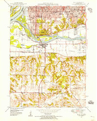
1948 · Milan
USGS Topo · 1:24,000

1949 · Coal Valley
USGS Topo · 1:24,000

1950 · Milan
USGS Topo · 1:24,000
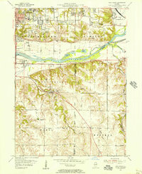
1953 · Coal Valley
USGS Topo · 1:24,000