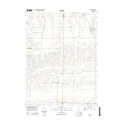
2015 Map of Orion
USGS Topo · Published 2015About this map
Orion and the surrounding agricultural landscape of Henry and Mercer Counties are defined by a network of drainage systems and small rural settlements. The Edwards River flows through the southern portion of the quadrangle, while several creeks including Camp Cr and Coal Cr carve through the glacial till. Local genealogy is well-represented by a cluster of country burial grounds such as Beulah Cem, Western Cem, and Brushwood Cem, which serve the communities of Swedona and Ophiem. This 2015 survey illustrates how traditional land divisions persist alongside modern water management features like Frye Lake and Lake of the Hills. The map clearly delineates the tri-county junction of Rock Island, Henry, and Mercer, documenting the rural infrastructure of Knoxville Rd and Camp Creek Rd connecting these persistent Illinois prairie towns.
Find a feature on this map
57 named features on this map. Tap any name to fly to it.
Don’t see what you’re looking for? This feature index may not catch every label — zoom into the map to look around manually.
Map Details
Editions of this 2015 Orion Map
This is the sole edition of this map. No revisions or reprints were ever made.
Other maps of this area
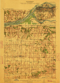
1912 · Milan
USGS Topo · 1:62,500
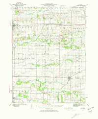
1923 · Alexis
USGS Topo · 1:62,500
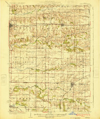
1925 · Alexis
USGS Topo · 1:62,500
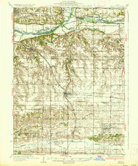
1937 · Orion
USGS Topo · 1:62,500
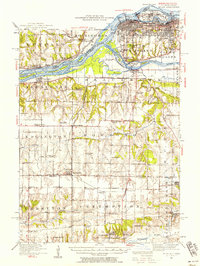
1944 · Milan
USGS Topo · 1:62,500
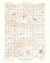
1947 · Woodhull
USGS Topo · 1:62,500
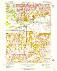
1948 · Milan
USGS Topo · 1:24,000
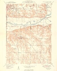
1949 · Coal Valley
USGS Topo · 1:24,000
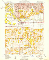
1950 · Milan
USGS Topo · 1:24,000
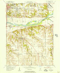
1953 · Coal Valley
USGS Topo · 1:24,000