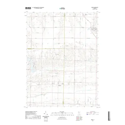
2021 Map of Orion
USGS Topo · Published 2021About this map
The Edwards River and Camp Cr define the rolling landscape of this Illinois quadrangle where the borders of Rock Island, Henry, and Mercer counties meet. The village of Orion sits in the northeast, its street grid organized between 10th Ave and 15th Ave, while the smaller settlement of Swedona is positioned further south near the Swedona Cem. This area is characterized by its numerous family and township burial grounds, including Beulah Cem, Western Cem, and the southern Merryman Cem, providing a dense network of sites for genealogical research. Water features are abundant throughout the township, ranging from the larger Lake of the Hills and Frye Lake to smaller tributaries like Mosquito Cr and Shaffer Cr, illustrating a rural landscape where local drainages have shaped the road network and property boundaries.
Find a feature on this map
53 named features on this map. Tap any name to fly to it.
Don’t see what you’re looking for? This feature index may not catch every label — zoom into the map to look around manually.
Map Details
Editions of this 2021 Orion Map
This is the sole edition of this map. No revisions or reprints were ever made.
Other maps of this area

1912 · Milan
USGS Topo · 1:62,500

1923 · Alexis
USGS Topo · 1:62,500

1925 · Alexis
USGS Topo · 1:62,500

1937 · Orion
USGS Topo · 1:62,500

1944 · Milan
USGS Topo · 1:62,500

1947 · Woodhull
USGS Topo · 1:62,500
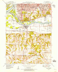
1948 · Milan
USGS Topo · 1:24,000

1949 · Coal Valley
USGS Topo · 1:24,000

1950 · Milan
USGS Topo · 1:24,000
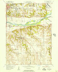
1953 · Coal Valley
USGS Topo · 1:24,000