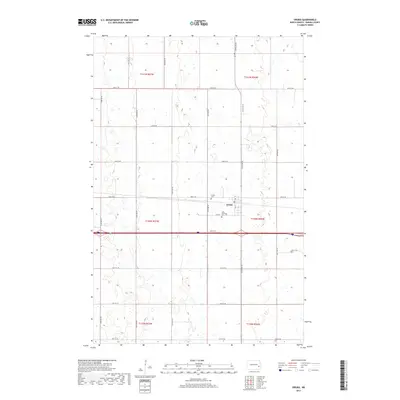
2017 Map of Oriska
USGS Topo · Published 2017About this map
Oriska stands as the central hub of this Barnes County landscape, situated along the east-west corridor defined by 33rd St SE. The settlement's local history is anchored by its communal spaces, most notably the Saint Bernards Cem and Oriska Cem, located just south and west of the main cluster of buildings. The surrounding terrain is organized by the traditional township and range grid, including t140n r56w and t141n r57w, reflecting the enduring agricultural structure of the North Dakota prairie.
Find a feature on this map
25 named features on this map. Tap any name to fly to it.
Don’t see what you’re looking for? This feature index may not catch every label — zoom into the map to look around manually.
Map Details
Editions of this 2017 Oriska Map
This is the sole edition of this map. No revisions or reprints were ever made.
Other maps of this area
1897 · Tower
USGS Topo · 1:125,000

1952 · Grand Forks
USGS Topo · 1:250,000

1953 · Fargo
USGS Topo · 1:250,000

1956 · Fargo
USGS Topo · 1:250,000

1956 · Grand Forks
USGS Topo · 1:250,000
1961 · Valley City East
USGS Topo · 1:24,000
1965 · Tower City SW
USGS Topo · 1:24,000
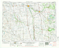
1966 · Grand Forks
USGS Topo · 1:250,000
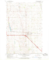
1967 · Tower City
USGS Topo · 1:24,000
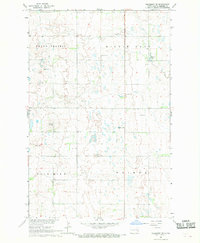
1967 · Pillsbury SE
USGS Topo · 1:24,000