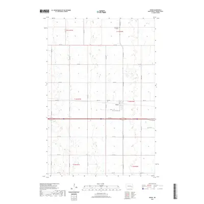
2020 Map of Oriska
USGS Topo · Published 2020About this map
Oriska serves as the central hub of this Barnes County landscape, where the town’s layout is defined by the intersection of the railway line and regional roads like 33rd St SE. The map reveals a community deeply rooted in its history, anchored by several local burial sites and landmarks. North of the town center lies the Camp Arnold State Historic Site Cem, while Saint Bernards Cem and Oriska Cem flank the residential and commercial district near the Po. The surrounding territory is characterized by a high density of wetlands and small water bodies, typical of the prairie pothole region, which dictates the grid of section lines and township boundaries such as t140n r56w. This 2020 survey illustrates the persistence of small-town North Dakota infrastructure amidst a predominantly agricultural and marshy terrain.
Find a feature on this map
27 named features on this map. Tap any name to fly to it.
Don’t see what you’re looking for? This feature index may not catch every label — zoom into the map to look around manually.
Map Details
Editions of this 2020 Oriska Map
This is the sole edition of this map. No revisions or reprints were ever made.
Other maps of this area

1897 · Tower
USGS Topo · 1:125,000

1952 · Grand Forks
USGS Topo · 1:250,000

1953 · Fargo
USGS Topo · 1:250,000

1956 · Fargo
USGS Topo · 1:250,000

1956 · Grand Forks
USGS Topo · 1:250,000

1961 · Valley City East
USGS Topo · 1:24,000

1965 · Tower City SW
USGS Topo · 1:24,000

1966 · Grand Forks
USGS Topo · 1:250,000

1967 · Tower City
USGS Topo · 1:24,000

1967 · Pillsbury SE
USGS Topo · 1:24,000