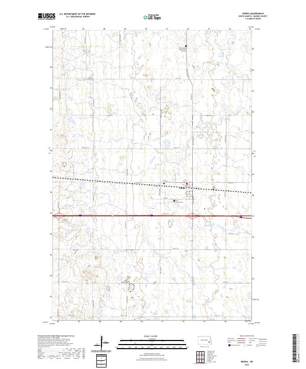
2024 Map of Oriska
USGS Topo · Published 2024About this map
Oriska stands as the primary settlement within this section of the eastern North Dakota prairie, organized around a rigid grid of rural section roads and the rail corridor. The landscape is dotted with numerous small wetlands and glacial depressions, many of which are protected within the Barnes County Waterfowl Production Area. For local historians and genealogists, the map identifies several significant burial sites including Saint Bernards Cem and the Oriska Cem. To the north, the Camp Arnold State Historic Site and its associated Camp Arnold State Historic Site Cem provide a focal point for studying the region’s early frontier history and state-preserved landmarks.
Find a feature on this map
27 named features on this map. Tap any name to fly to it.
Don’t see what you’re looking for? This feature index may not catch every label — zoom into the map to look around manually.
Map Details
Editions of this 2024 Oriska Map
This is the sole edition of this map. No revisions or reprints were ever made.
Other maps of this area

1897 · Tower
USGS Topo · 1:125,000

1952 · Grand Forks
USGS Topo · 1:250,000

1953 · Fargo
USGS Topo · 1:250,000

1956 · Fargo
USGS Topo · 1:250,000

1956 · Grand Forks
USGS Topo · 1:250,000

1961 · Valley City East
USGS Topo · 1:24,000

1965 · Tower City SW
USGS Topo · 1:24,000

1966 · Grand Forks
USGS Topo · 1:250,000

1967 · Tower City
USGS Topo · 1:24,000

1967 · Pillsbury SE
USGS Topo · 1:24,000