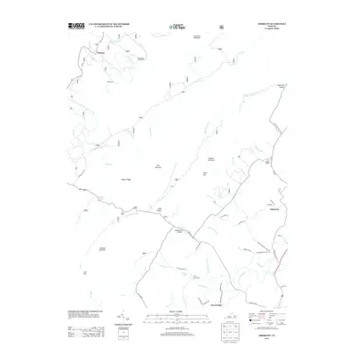
2013 Map of Oriskany
USGS Topo · Published 2013About this map
Oriskany sits along the banks of Craig Cr in the northern reaches of this territory, serving as a focal point for a landscape defined by sharp ridges and narrow hollows. The area's hydrology is complex, with Sulphur Spring and Woodville Spring feeding into a network of runs and branches like Crooked Run and Sukey Johnson Br. These waterways historically dictated the placement of early infrastructure, from the small settlement at Howell Mills to the recreational spaces at Craig Creek Campground and Camp Montgomery.
Find a feature on this map
85 named features on this map. Tap any name to fly to it.
Don’t see what you’re looking for? This feature index may not catch every label — zoom into the map to look around manually.
Map Details
Editions of this 2013 Oriskany Map
This is the sole edition of this map. No revisions or reprints were ever made.
Other maps of this area

1887 · Lewisburg
USGS Topo · 1:125,000

1890 · Roanoke
USGS Topo · 1:125,000

1890 · Christiansburg
USGS Topo · 1:125,000

1891 · Roanoke
USGS Topo · 1:125,000

1891 · Lewisburg
USGS Topo · 1:125,000

1894 · Natural Bridge
USGS Topo · 1:125,000

1913 · Eagle Rock
USGS Topo · 1:48,000

1915 · Eagle Rock
USGS Topo · 1:62,500

1929 · Roanoke
USGS Topo · 1:48,000

1929 · Salem
USGS Topo · 1:48,000