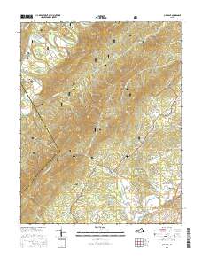
2016 Map of Oriskany
USGS Topo · Published 2016About this map
Fincastle serves as a primary reference point in this corner of the Commonwealth, where the Appalachian topography dictates the layout of mountain roads and valley settlements. The landscape is defined by the high ridges of Patterson Mtn and Caldwell Mtn, with much of the interior protected within the Jefferson National Forest. For genealogists, the map is particularly useful for locating small, family-named burial sites including McAlester Cem, Anderson Cem, and Tucker Cem situated along the winding drainage of Craig Creek. Natural water sources like Sulphur Spring and Woodville Spring punctuate the valleys near Howell Mills, while the boundary between Botetourt Co and Craig Co follows the prominent crest of Sulphur Ridge. The network of backroads such as Old Fincastle Rd and White Church Rd traces the historical path of rural development through Flatwoods and the surrounding hollows.
Find a feature on this map
65 named features on this map. Tap any name to fly to it.
Don’t see what you’re looking for? This feature index may not catch every label — zoom into the map to look around manually.
Map Details
Editions of this 2016 Oriskany Map
This is the sole edition of this map. No revisions or reprints were ever made.
Other maps of this area

1887 · Lewisburg
USGS Topo · 1:125,000

1890 · Roanoke
USGS Topo · 1:125,000

1890 · Christiansburg
USGS Topo · 1:125,000

1891 · Roanoke
USGS Topo · 1:125,000

1891 · Lewisburg
USGS Topo · 1:125,000

1894 · Natural Bridge
USGS Topo · 1:125,000

1913 · Eagle Rock
USGS Topo · 1:48,000

1915 · Eagle Rock
USGS Topo · 1:62,500

1929 · Roanoke
USGS Topo · 1:48,000

1929 · Salem
USGS Topo · 1:48,000