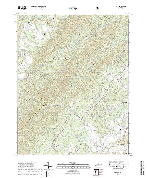
2022 Map of Oriskany
USGS Topo · Published 2022About this map
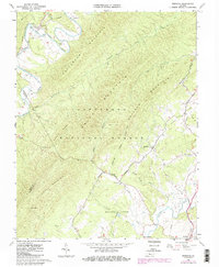
Oriskany and Fincastle anchor this portion of Botetourt County, where the topography is defined by the massive ridges of Patterson Mtn and Caldwell Mtn. Much of the central terrain is managed within the Jefferson National Forest, crisscrossed by an extensive network of trails such as the Price-Broad Mountain Trl and Lees Creek-Horse Trl. These routes follow the natural corridors created by drainage systems like Little Patterson Cr and Mud Lick.
Find a feature on this map
79 named features on this map. Tap any name to fly to it.
Don’t see what you’re looking for? This feature index may not catch every label — zoom into the map to look around manually.
Map Details
Editions of this 2022 Oriskany Map
This is the sole edition of this map. No revisions or reprints were ever made.
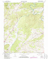
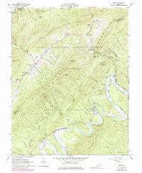
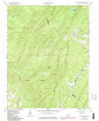
Historical Maps of Fincastle Through Time
17 maps found

1894 Natural Bridge
Botetourt County, VA
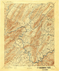
1894 Rockbridge
Botetourt County, VA
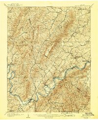
1907 Natural Bridge
Botetourt County, VA
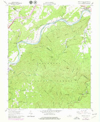
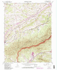
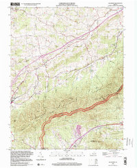
1961 Arnold Valley
Botetourt County, VA
1962 Oriskany
Botetourt County, VA
1962 Salisbury
Botetourt County, VA
1962 Strom
Botetourt County, VA
1962 Sugarloaf Mtn
Botetourt County, VA
1963 Villamont
Botetourt County, VA
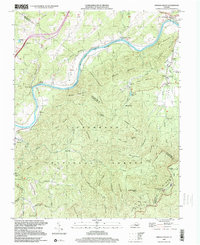
1999 Arnold Valley
Botetourt County, VA
1999 Villamont
Botetourt County, VA
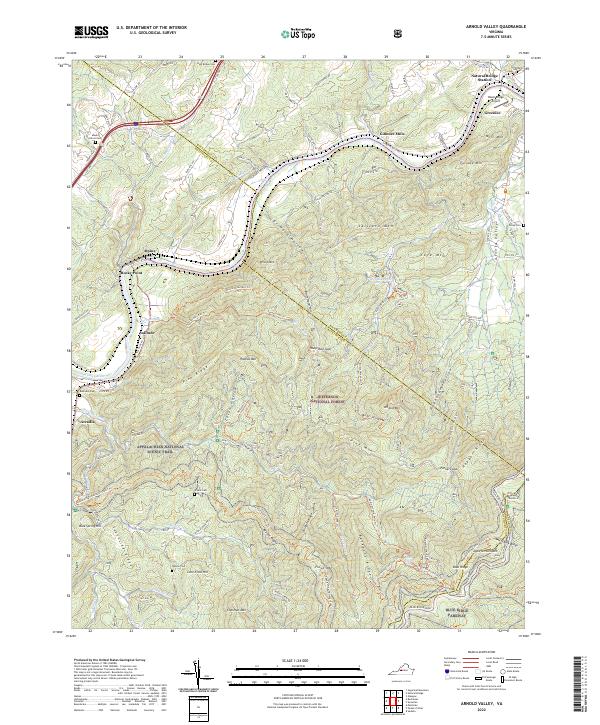
2022 Arnold Valley
Botetourt County, VA
2022 Oriskany
Botetourt County, VA
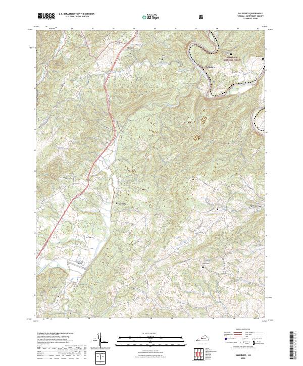
2022 Salisbury
Botetourt County, VA
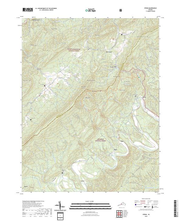
2022 Strom
Botetourt County, VA
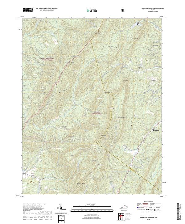
2022 Sugarloaf Mountain
Botetourt County, VA
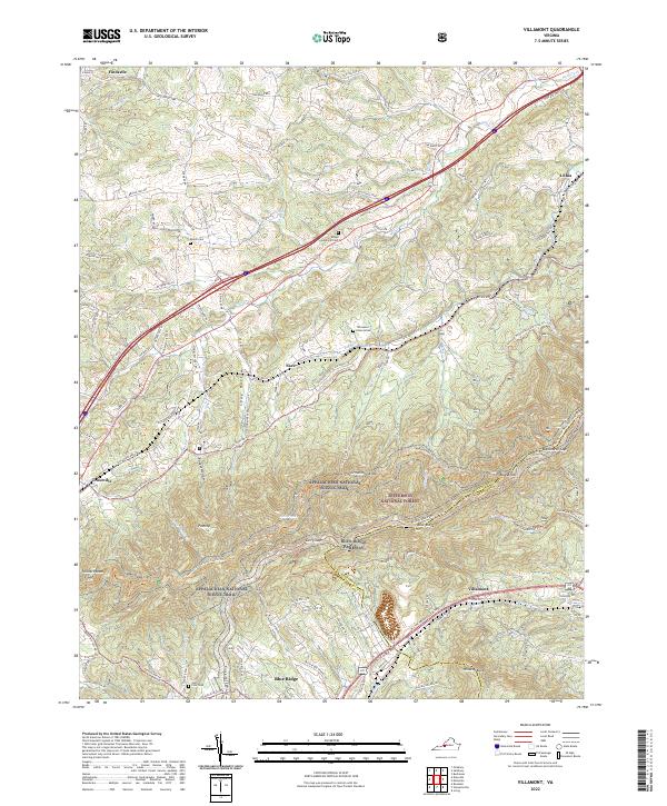
2022 Villamont
Botetourt County, VA