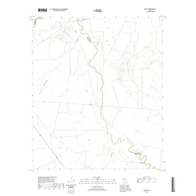
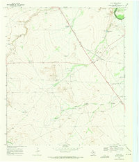
2019 Map of Orla SE
USGS Topo · Published 2019About this map
Pecos River serves as the primary geographic corridor through this arid stretch of West Texas, carving a path that historically defined the border between Loving and Reeves counties. The settlement of Riverton sits at a low point near the river's bend in the southeast, representing a rare point of named habitation in a landscape dominated by drainage features like Sand Bend Draw and Fourmile Draw. The map reveals a sparse infrastructure network designed for transit across the scrubland, anchored by Ranch Rd 652 and FM 652. Local water management is evident at Big Tank, a vital landmark for land use in this dry environment. The convergence of county roads such as Co Rd 441 and Co Rd 440 indicates the area's continued role as a crossroads for ranching or industrial access between the scattered draws and the river basin.
Find a feature on this map
11 named features on this map. Tap any name to fly to it.
Don’t see what you’re looking for? This feature index may not catch every label — zoom into the map to look around manually.
Map Details
Editions of this 2019 Orla SE Map
This is the sole edition of this map. No revisions or reprints were ever made.
Other maps of this area
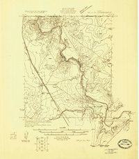
1925 · Orla 2-b
USGS Topo · 1:48,000
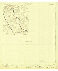
1931 · Orla
USGS Topo · 1:62,500

1954 · Pecos
USGS Topo · 1:250,000

1957 · Pecos
USGS Topo · 1:250,000
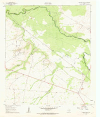
1961 · Anderson Ranch
USGS Topo · 1:24,000
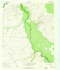
1961 · Orla SE
USGS Topo · 1:24,000
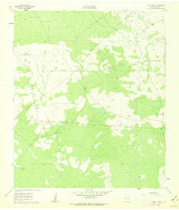
1961 · Lindley Ranch
USGS Topo · 1:24,000
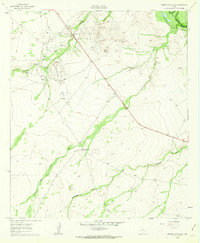
1961 · Narrow Bow Draw
USGS Topo · 1:24,000
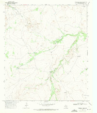
1968 · Threemile Draw
USGS Topo · 1:24,000
1968 · Orla
USGS Topo · 1:24,000