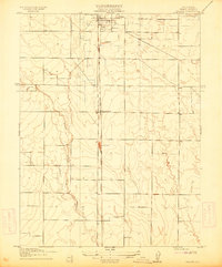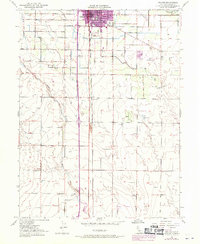
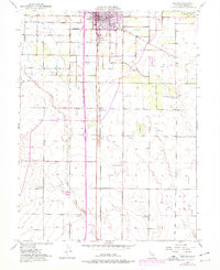
1951 Map of Orland
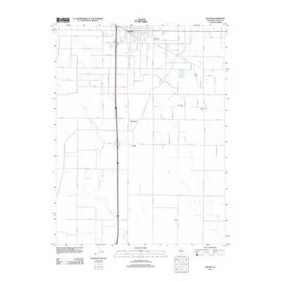
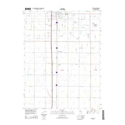
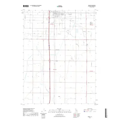
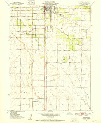
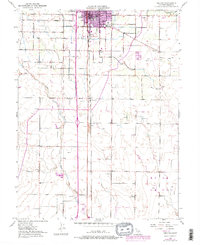
USGS Topo · Published 1970About this map
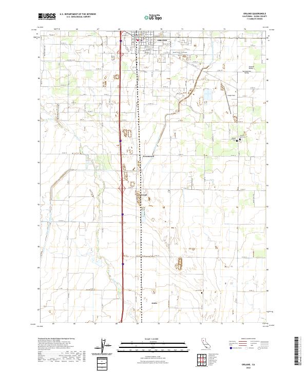
The town of Orland serves as the focal point of this Central Valley agricultural landscape, situated along the Southern Pacific railroad line. The map reveals the extensive hydraulic engineering of the era, dominated by the Stony Creek Irrigation Canal and numerous siphons and reservoirs that supported the region's orchards and fields. To the south of the main settlement, smaller communities like Greenwood and Grapit appear near the rail corridor, while the Glenn County Fairground and Price Sch anchor the local social and educational infrastructure.
Find a feature on this map
23 named features on this map. Tap any name to fly to it.
Don’t see what you’re looking for? This feature index may not catch every label — zoom into the map to look around manually.
Map Details
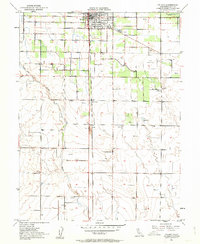
Editions of this 1951 Orland Map
5 editions found
Historical Maps of Grapit Through Time
6 maps found