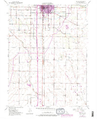
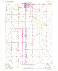
1951 Map of Orland
USGS Topo · Published 1978About this map
The town of Orland serves as the focal point of this northern Central Valley landscape, where a dense grid of irrigation and transport supports a thriving agricultural community. The Southern Pacific railroad corridor runs vertically through the center, anchoring smaller settlements like Greenwood and Grapit. A network of local roads including Walker Street, West Newport Road, and Eucalyptus Road connects the outlying farms to the municipal core.
Find a feature on this map
22 named features on this map. Tap any name to fly to it.
Don’t see what you’re looking for? This feature index may not catch every label — zoom into the map to look around manually.
Map Details
Editions of this 1951 Orland Map
5 editions found
Other maps of this area

1904 · Vina
USGS Topo · 1:62,500

1904 · Walker Creek
USGS Topo · 1:31,680

1906 · Willows
USGS Topo · 1:62,500

1914 · Kirkwood
USGS Topo · 1:31,680

1914 · Orland
USGS Topo · 1:31,680

1914 · Hamilton
USGS Topo · 1:31,680

1914 · McIntosh Landing
USGS Topo · 1:31,680

1917 · Kurand
USGS Topo · 1:31,680

1917 · Lyman
USGS Topo · 1:31,680

1917 · Jacinto
USGS Topo · 1:31,680