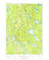
1955 Map of Orland
USGS Topo · Published 1964About this map
Alamoosook Lake and the interconnected waters of Toddy Pond anchor this mid-century survey of the Maine interior. The landscape reflects a transition from early industrial extraction to a mid-century recreation and conservation economy. Evidence of the former is visible at the Annear Copper Mine near North Penobscot, while the latter is represented by the US Fish Hatchery and the development of Lucerne-in-Maine along the Maine Central railroad line.
Find a feature on this map
110 named features on this map. Tap any name to fly to it.
Don’t see what you’re looking for? This feature index may not catch every label — zoom into the map to look around manually.
Map Details
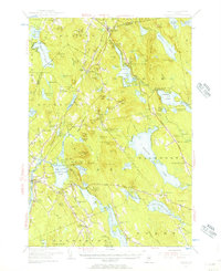
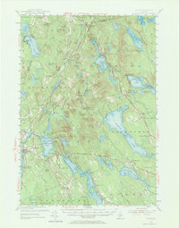
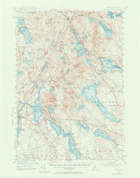
Editions of this 1955 Orland Map
4 editions found
Other maps of this area

1900 · Orland
USGS Topo · 1:62,500

1900 · Bucksport
USGS Topo · 1:62,500

1902 · Orono
USGS Topo · 1:62,500

1902 · Bucksport
USGS Topo · 1:62,500

1902 · Bangor
USGS Topo · 1:62,500

1902 · Castine
USGS Topo · 1:62,500

1904 · Castine
USGS Topo · 1:62,500

1904 · Mount Desert
USGS Topo · 1:62,500

1904 · Bluehill
USGS Topo · 1:62,500

1905 · Penobscot Bay
USGS Topo · 1:125,000