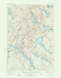
1955 Map of Orland
USGS Topo · Published 1973About this map
Lucerne in Maine and the surrounding Hancock County highlands are defined by an intricate network of glacial ponds and granite peaks in the mid-1950s. The Maine Central RR cuts through the northern landscape near Holden Sta, serving a region where early industry and recreation converged. Further south, the Annear Copper Mine sits near the head of the Bagaduce River drainage, while the US Fish Hatchery is established on the shores of Alamoosook Lake. The map reveals a deeply rooted settlement pattern, with family-named landmarks like Cranes Corners and numerous rural burial grounds such as Birch Grove Cem and Back Ridge Cem. The transition from coastal lowlands to peaks like Flying Moose Mtn illustrates the varied terrain that shaped Orland's early roads, including the Acadia Highway and Memorial Highway.
Find a feature on this map
119 named features on this map. Tap any name to fly to it.
Don’t see what you’re looking for? This feature index may not catch every label — zoom into the map to look around manually.
Map Details
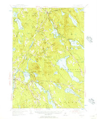
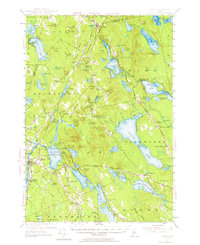
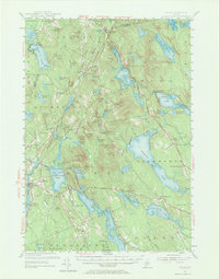
Editions of this 1955 Orland Map
4 editions found
Other maps of this area

1900 · Orland
USGS Topo · 1:62,500

1900 · Bucksport
USGS Topo · 1:62,500

1902 · Orono
USGS Topo · 1:62,500

1902 · Bucksport
USGS Topo · 1:62,500

1902 · Bangor
USGS Topo · 1:62,500

1902 · Castine
USGS Topo · 1:62,500

1904 · Castine
USGS Topo · 1:62,500

1904 · Mount Desert
USGS Topo · 1:62,500

1904 · Bluehill
USGS Topo · 1:62,500

1905 · Penobscot Bay
USGS Topo · 1:125,000