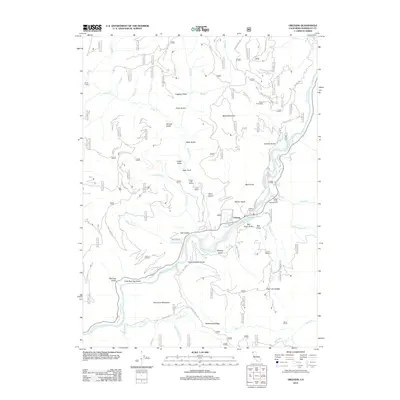
2012 Map of Orleans
USGS Topo · Published 2012About this map
The Klamath River carves a deep path through the Klamath Mountains near the settlement of Orleans, where the waterway meets several significant tributaries including Red Cap Cr and Pearch Cr. This 2012 survey illustrates a landscape defined by its rugged verticality and a history of land use, from the residential clusters at the Hunter Little Ranch and Reece Homestead to the legacy of mining and timber suggested by Logging Gulch and Sawmill Gulch. Local geography is marked by distinctive features such as Sarvorum Mountain and Cape Horn, which tower over the river's winding course.
Find a feature on this map
72 named features on this map. Tap any name to fly to it.
Don’t see what you’re looking for? This feature index may not catch every label — zoom into the map to look around manually.
Map Details
Editions of this 2012 Orleans Map
This is the sole edition of this map. No revisions or reprints were ever made.
Other maps of this area

1925 · Hoopa
USGS Topo · 1:125,000

1948 · Weed
USGS Topo · 1:250,000

1950 · Weed
USGS Topo · 1:250,000

1952 · Hoopa
USGS Topo · 1:62,500

1952 · Orleans
USGS Topo · 1:62,500

1955 · Salmon Mtn
USGS Topo · 1:62,500

1955 · Forks of Salmon
USGS Topo · 1:62,500

1958 · Weed
USGS Topo · 1:250,000

1963 · Weed
USGS Topo · 1:250,000

1974 · Orleans Mtn.
USGS Topo · 1:24,000