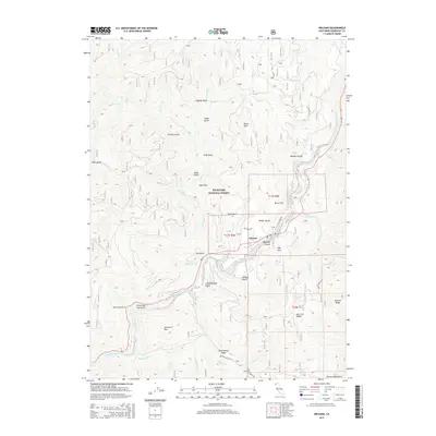
2015 Map of Orleans
USGS Topo · Published 2015About this map
Orleans sits at the heart of this landscape, positioned along a sharp bend of the Klamath River within the Six Rivers National Forest. This 2015 survey illustrates a terrain defined by steep ridges and deep drainages, where life and transportation cling to the river corridor and narrow mountain roads like Ishi Pish Rd and Shelton Butte Rd. The map reveals the intricate network of gulches and flats that have long shaped local geography, from Bacon Flat to the depths of Sawmill Gulch and China Gulch. High-elevation landmarks such as Sarvorum Mtn, Black Mtn, and the southern Salmon Mountains frame the river valley, while smaller features like Deer Lick Saddle and Antenna Ridge highlight the topographic complexity. Numerous tributaries, including Boise Cr, Pearch Cr, and Camp Cr, feed into the Klamath, emphasizing the area's watershed importance and the rugged isolation of its mountain ridges.
Find a feature on this map
53 named features on this map. Tap any name to fly to it.
Don’t see what you’re looking for? This feature index may not catch every label — zoom into the map to look around manually.
Map Details
Editions of this 2015 Orleans Map
This is the sole edition of this map. No revisions or reprints were ever made.
Other maps of this area
1925 · Hoopa
USGS Topo · 1:125,000
1948 · Weed
USGS Topo · 1:250,000
1950 · Weed
USGS Topo · 1:250,000
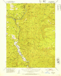
1952 · Hoopa
USGS Topo · 1:62,500
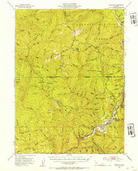
1952 · Orleans
USGS Topo · 1:62,500
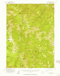
1955 · Salmon Mtn
USGS Topo · 1:62,500
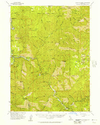
1955 · Forks of Salmon
USGS Topo · 1:62,500
1958 · Weed
USGS Topo · 1:250,000
1963 · Weed
USGS Topo · 1:250,000
1974 · Orleans Mtn.
USGS Topo · 1:24,000