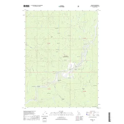
2018 Map of Orleans
USGS Topo · Published 2018About this map
The Klamath River carves through the heart of this landscape within the Six Rivers National Forest, shaping a terrain of deep gulches and high mountain ridges. This 2018 survey documents a remote portion of Humboldt County where legacy land use is etched into the topography through names like Owl Mine Rd and Downs Ranch Rd. The river corridor acts as the primary axis for movement, with Ishi-Pishi Rd and Orleans School Rd following the water's path past riverside landmarks like Bacon Flat and Big Rock. Rising sharply from the riverbanks, the land reaches toward Sarvorum Mtn and the Salmon Mountains, while numerous drainages such as Chimmekanee Gulch and Whiteys Gulch feed into the Klamath. The map highlights the complex forest road network, including Bark Shanty Rd and Skelton Butte Rd, which provide access to the timber and ranching history of these steep slopes.
Find a feature on this map
61 named features on this map. Tap any name to fly to it.
Don’t see what you’re looking for? This feature index may not catch every label — zoom into the map to look around manually.
Map Details
Editions of this 2018 Orleans Map
This is the sole edition of this map. No revisions or reprints were ever made.
Other maps of this area
1925 · Hoopa
USGS Topo · 1:125,000
1948 · Weed
USGS Topo · 1:250,000
1950 · Weed
USGS Topo · 1:250,000
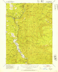
1952 · Hoopa
USGS Topo · 1:62,500
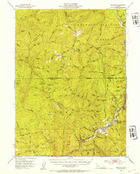
1952 · Orleans
USGS Topo · 1:62,500
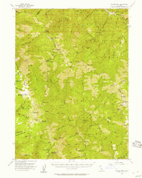
1955 · Salmon Mtn
USGS Topo · 1:62,500
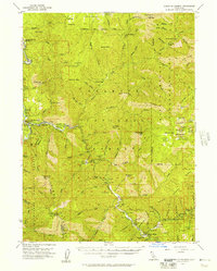
1955 · Forks of Salmon
USGS Topo · 1:62,500
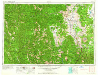
1958 · Weed
USGS Topo · 1:250,000
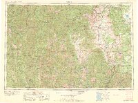
1963 · Weed
USGS Topo · 1:250,000
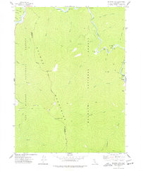
1974 · Orleans Mtn.
USGS Topo · 1:24,000