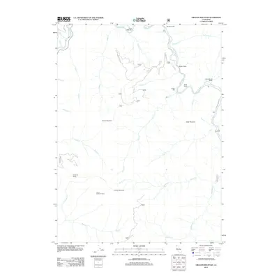
2012 Map of Orleans Mountain
USGS Topo · Published 2012About this map
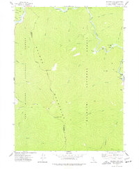
Orleans Mountain and its surrounding peaks dominate the terrain where the Klamath River meets the winding Salmon River. This landscape is defined by the convergence of steep drainages and gravel bars, notably Three Dollar Bar and Murderers Bar along the Salmon River corridor. The map highlights the high-elevation Orleans Mountain Lookout, which overlooks a network of creeks like Pearch Cr and Boise Cr that carve through the Siskiyou Mountains. Development is sparse and concentrated along the riverbanks, represented by Red Cap Ranch and named flats such as Butler Flat. The presence of Antenna Ridge and Monte Creek Rd suggests a modern layer of utility and access superimposed on this traditionally secluded terrain, providing a detailed look at the hydrology and topographic relief of the region in the early 21st century.
Find a feature on this map
38 named features on this map. Tap any name to fly to it.
Don’t see what you’re looking for? This feature index may not catch every label — zoom into the map to look around manually.
Map Details
Editions of this 2012 Orleans Mountain Map
This is the sole edition of this map. No revisions or reprints were ever made.
Other maps of this area
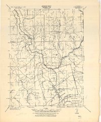
1925 · Hoopa
USGS Topo · 1:125,000

1948 · Weed
USGS Topo · 1:250,000

1950 · Weed
USGS Topo · 1:250,000
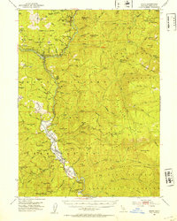
1952 · Hoopa
USGS Topo · 1:62,500
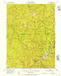
1952 · Orleans
USGS Topo · 1:62,500
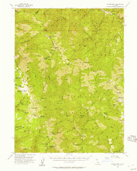
1955 · Salmon Mtn
USGS Topo · 1:62,500
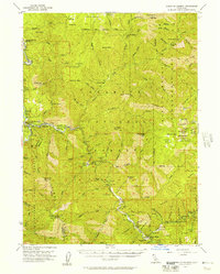
1955 · Forks of Salmon
USGS Topo · 1:62,500
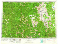
1958 · Weed
USGS Topo · 1:250,000
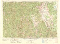
1963 · Weed
USGS Topo · 1:250,000
1974 · Orleans Mtn.
USGS Topo · 1:24,000