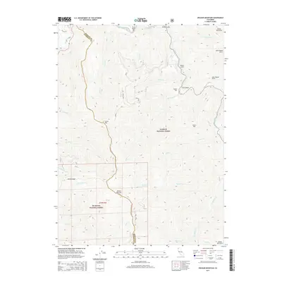
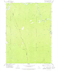
2015 Map of Orleans Mountain
USGS Topo · Published 2015About this map
Orleans Mountain and Somes Mtn command the high ridgelines where Humboldt Co meets Siskiyou Co in this 2015 survey. This area marks the dramatic confluence where the Salmon River joins the Klamath River, a landscape defined by deep river canyons and the massive protected expanses of the Klamath National Forest and Six Rivers National Forest. The map captures a topography shaped by both natural forces and early regional history, featuring labels like Murderers Bar and Three Dollar Bar along the Salmon River, which point to the area's legacy of river-based exploration and activity. Significant drainages such as Ikes Cr and Somes Cr feed into the main stems, while landmarks like Antenna Ridge and Butler Mtn provide fixed points across the complex mountain terrain. A boundary line for the Marble Mountains edges into the northern reaches, emphasizing the high-elevation character of this northern California wilderness.
Find a feature on this map
37 named features on this map. Tap any name to fly to it.
Don’t see what you’re looking for? This feature index may not catch every label — zoom into the map to look around manually.
Map Details
Editions of this 2015 Orleans Mountain Map
This is the sole edition of this map. No revisions or reprints were ever made.
Other maps of this area
1925 · Hoopa
USGS Topo · 1:125,000

1948 · Weed
USGS Topo · 1:250,000

1950 · Weed
USGS Topo · 1:250,000
1952 · Hoopa
USGS Topo · 1:62,500
1952 · Orleans
USGS Topo · 1:62,500
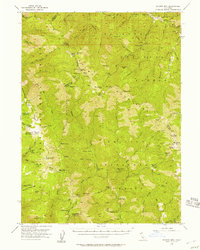
1955 · Salmon Mtn
USGS Topo · 1:62,500
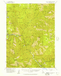
1955 · Forks of Salmon
USGS Topo · 1:62,500
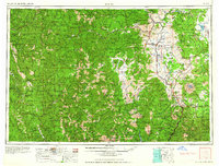
1958 · Weed
USGS Topo · 1:250,000
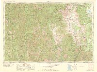
1963 · Weed
USGS Topo · 1:250,000
1974 · Orleans Mtn.
USGS Topo · 1:24,000