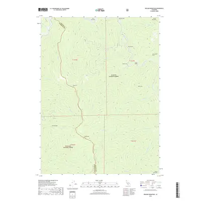
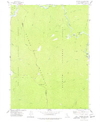
2018 Map of Orleans Mountain
USGS Topo · Published 2018About this map
Somes Mtn and Orleans Mtn dominate the vertical geography where the Klamath National Forest meets the Six Rivers National Forest. The landscape is defined by the convergence of major watercourses, notably the Klamath River and the Salmon River, which carve through the Siskiyou and Humboldt county lines. River bars such as Three Dollar Bar and Murderers Bar hint at a history of resource extraction and transit along these waterways. Human presence is sparse, concentrated near the river corridor and the winding path of Ishi Pishi Rd. High-altitude features like the Marble Mountains and the Salmon Mountains provide significant landmarks for land management and navigation within this protected wilderness. The intricate network of drainage creeks, including Ikes Cr and Boise Cr, illustrates the complex watershed system that feeds the regional river basins.
Find a feature on this map
42 named features on this map. Tap any name to fly to it.
Don’t see what you’re looking for? This feature index may not catch every label — zoom into the map to look around manually.
Map Details
Editions of this 2018 Orleans Mountain Map
This is the sole edition of this map. No revisions or reprints were ever made.
Other maps of this area
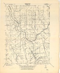
1925 · Hoopa
USGS Topo · 1:125,000

1948 · Weed
USGS Topo · 1:250,000

1950 · Weed
USGS Topo · 1:250,000
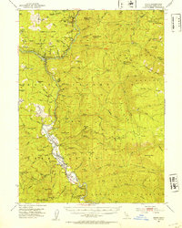
1952 · Hoopa
USGS Topo · 1:62,500
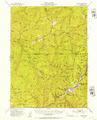
1952 · Orleans
USGS Topo · 1:62,500
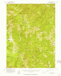
1955 · Salmon Mtn
USGS Topo · 1:62,500
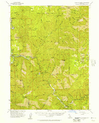
1955 · Forks of Salmon
USGS Topo · 1:62,500
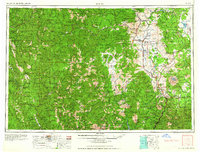
1958 · Weed
USGS Topo · 1:250,000
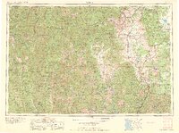
1963 · Weed
USGS Topo · 1:250,000
1974 · Orleans Mtn.
USGS Topo · 1:24,000