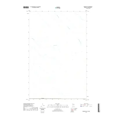
2019 Map of Orleans OE N
USGS Topo · Published 2019About this map
The northernmost edge of Kittson County meets the international border of Canada in this survey of agricultural drainage and topography. The landscape is defined by the managed flow of water across low-lying terrain, specifically via Casson Drain and Harlow Drain, which wind across the northern reaches of the Red River Valley. This specific map provides a detailed look at the engineered water systems that support the regional farm economy just south of the border, recording the precise hydrological patterns of the late 2010s in an area of minimal settlement and high-latitude prairie.
Find a feature on this map
3 named features on this map. Tap any name to fly to it.
Don’t see what you’re looking for? This feature index may not catch every label — zoom into the map to look around manually.
Map Details
Editions of this 2019 Orleans OE N Map
This is the sole edition of this map. No revisions or reprints were ever made.
Other maps of this area
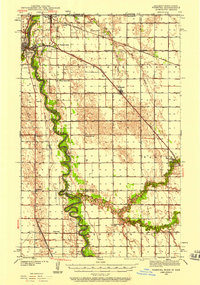
1939 · Pembina
USGS Topo · 1:62,500
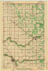
1941 · Hallock
USGS Topo · 1:62,500
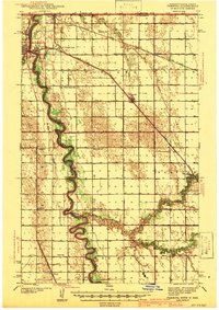
1941 · Pembina
USGS Topo · 1:62,500

1952 · Thief River Falls
USGS Topo · 1:250,000

1956 · Thief River Falls
USGS Topo · 1:250,000

1957 · Thief River Falls
USGS Topo · 1:250,000
1967 · Thief River Falls
USGS Topo · 1:250,000
1974 · Humboldt
USGS Topo · 1:24,000
1974 · Hallock NE
USGS Topo · 1:24,000
1974 · Orleans
USGS Topo · 1:24,000