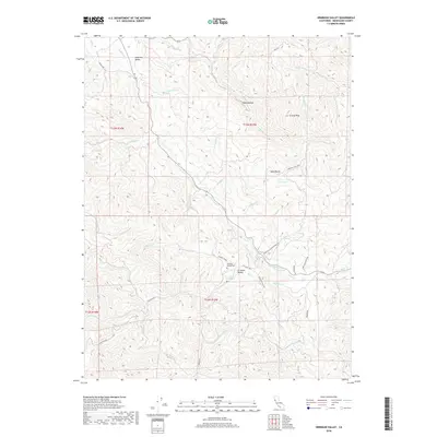
2018 Map of Ornbaun Valley
USGS Topo · Published 2018About this map
Ornbaun Valley serves as a central landmark in this portion of Mendocino County, where the headwaters of numerous creeks carve through the coastal range. This 2018 survey detail shows a landscape defined by its ranching heritage and natural springs, specifically at Ornbaun Springs and the nearby Ornbaun Springs Cem. The complex drainage network of Rancheria Cr and the upper reaches of the Garcia River illustrate the rugged interior geography south of Anderson Valley. High points such as Grizzly Peak and Hawk Butte overlook historic transport corridors like the Boonville-Ukiah Cutoff Rd and Fish Rock Rd. These routes and family-named landmarks like Rush Bottom provide essential context for researchers tracing the mid-20th-century development and land use patterns of this rural California interior.
Find a feature on this map
46 named features on this map. Tap any name to fly to it.
Don’t see what you’re looking for? This feature index may not catch every label — zoom into the map to look around manually.
Map Details
Editions of this 2018 Ornbaun Valley Map
This is the sole edition of this map. No revisions or reprints were ever made.
Other maps of this area

1920 · Ukiah
USGS Topo · 1:62,500

1938 · Hopland
USGS Topo · 1:62,500

1943 · Boonville
USGS Topo · 1:62,500

1943 · Hopland
USGS Topo · 1:62,500

1943 · Ornbaun
USGS Topo · 1:62,500

1944 · Ukiah
USGS Topo · 1:62,500

1944 · Ornbaun
USGS Topo · 1:62,500

1944 · Hopland
USGS Topo · 1:62,500

1947 · Santa Rosa
USGS Topo · 1:250,000

1949 · Santa Rosa
USGS Topo · 1:250,000