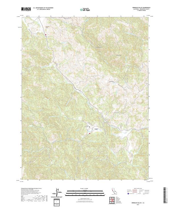
2021 Map of Ornbaun Valley
USGS Topo · Published 2021About this map
Ornbaun Valley is the central focus of this Mendocino County survey, where the drainages of Rancheria Cr and Anderson Cr carve through the coastal range. The landscape is defined by the legacy of early ranching and water rights, anchored by the Ornbaun Springs and the nearby Ornbaun Springs Cem. Small clearings like Rush Bottom and high points such as Grizzly Peak and Hawk Butte offer a clear picture of the region's topography.
Find a feature on this map
48 named features on this map. Tap any name to fly to it.
Don’t see what you’re looking for? This feature index may not catch every label — zoom into the map to look around manually.
Map Details
Editions of this 2021 Ornbaun Valley Map
This is the sole edition of this map. No revisions or reprints were ever made.
Other maps of this area

1920 · Ukiah
USGS Topo · 1:62,500

1938 · Hopland
USGS Topo · 1:62,500

1943 · Boonville
USGS Topo · 1:62,500

1943 · Hopland
USGS Topo · 1:62,500

1943 · Ornbaun
USGS Topo · 1:62,500

1944 · Ukiah
USGS Topo · 1:62,500

1944 · Ornbaun
USGS Topo · 1:62,500

1944 · Hopland
USGS Topo · 1:62,500

1947 · Santa Rosa
USGS Topo · 1:250,000

1949 · Santa Rosa
USGS Topo · 1:250,000