
1942 Map of Oro Blanco
USGS Topo · Published 1961About this map
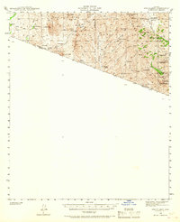
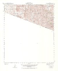
Mining heritage and ranching life define this borderland landscape in the early 1940s, where the San Luis MTS and Cobre Mtn rise above the international boundary. The settlement of Oro Blanco serves as a focal point for the region's extractive history, surrounded by numerous dormant operations including the Yellow Jacket Mine, Old Glory Mine, and the Austerlitz Mine. These labels suggest a shift in the local economy as older claims were recorded as abandoned by the time of the survey.
Find a feature on this map
44 named features on this map. Tap any name to fly to it.
Don’t see what you’re looking for? This feature index may not catch every label — zoom into the map to look around manually.
Map Details
Editions of this 1942 Oro Blanco Map
3 editions found
Other maps of this area

1920 · Arivaca
USGS Topo · 1:125,000

1921 · Old Glory
USGS Topo · 1:125,000

1939 · Tubac
USGS Topo · 1:62,500

1941 · Presumido Peak
USGS Topo · 1:62,500

1941 · Arivaca
USGS Topo · 1:62,500

1942 · Ruby
USGS Topo · 1:62,500

1943 · Fresnal
USGS Topo · 1:125,000

1943 · Arivaca
USGS Topo · 1:62,500

1943 · Old Glory
USGS Topo · 1:125,000

1943 · Tubac
USGS Topo · 1:62,500