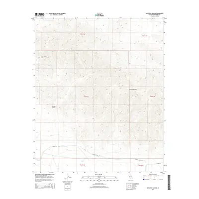
2015 Map of Orocopia Canyon
USGS Topo · Published 2015About this map
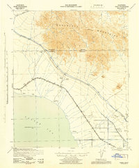
Dos Palmas Spring anchors the southern reaches of this arid landscape, providing a rare water source in the desert terrain between the Salton Sink and the high peaks. The modern engineering of the Coachella Canal cuts across the lower elevations, accompanied by the service path of Coachella Canal Rd. To the north, the steep, dissected topography of the Orocopia Mountains rises sharply, defined by deep incisions such as Orocopia Canyon and Hidden Spring Canyon. This 2015 survey captures the intersection of critical water infrastructure and ancient geological formations. In the southeastern corner, the historic route of the Bradshaw Trl appears, tracing a path that has served as a vital desert passage for generations of travelers moving through these dry washes and mountain passes.
Find a feature on this map
13 named features on this map. Tap any name to fly to it.
Don’t see what you’re looking for? This feature index may not catch every label — zoom into the map to look around manually.
Map Details
Editions of this 2015 Orocopia Canyon Map
This is the sole edition of this map. No revisions or reprints were ever made.
Other maps of this area
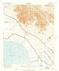
1940 · Frink
USGS Topo · 1:62,500
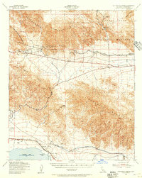
1940 · Cottonwood Spring
USGS Topo · 1:62,500
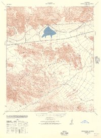
1940 · Canyon Spring
USGS Topo · 1:62,500
1940 · Durmid
USGS Topo · 1:62,500
1943 · Canyon Spring
USGS Topo · 1:62,500
1944 · Cottonwood Spring
USGS Topo · 1:62,500
1944 · Durmid
USGS Topo · 1:62,500
1944 · Frink
USGS Topo · 1:62,500

1954 · Salton Sea
USGS Topo · 1:250,000

1955 · Salton Sea
USGS Topo · 1:250,000