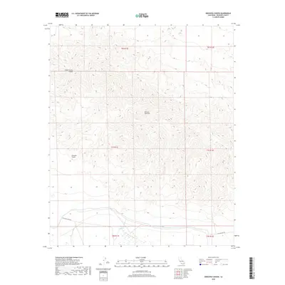
2018 Map of Orocopia Canyon
USGS Topo · Published 2018About this map
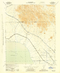
Orocopia Mountains dominate this Colorado Desert landscape, where extreme relief and arid drainages define the geography of Riverside County. This 2018 survey details the transition from high ridgelines down into the deep incisions of Orocopia Canyon and Hidden Spring Canyon. At the base of these heights, the desert ecology shifts abruptly at Dos Palmas Spring, a vital water source situated near the engineered path of the Coachella Canal. The map records a fascinating intersection of ancient natural pathways and modern infrastructure, including the historic alignment of The Bradshaw Trl and the Dos Palmas Spring Rd, providing a clear look at how water management and transportation routes have been dictated by the difficult terrain of the Orocopia range.
Find a feature on this map
13 named features on this map. Tap any name to fly to it.
Don’t see what you’re looking for? This feature index may not catch every label — zoom into the map to look around manually.
Map Details
Editions of this 2018 Orocopia Canyon Map
This is the sole edition of this map. No revisions or reprints were ever made.
Other maps of this area
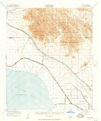
1940 · Frink
USGS Topo · 1:62,500
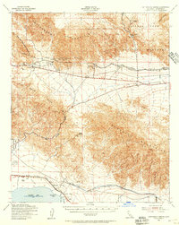
1940 · Cottonwood Spring
USGS Topo · 1:62,500
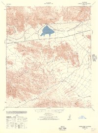
1940 · Canyon Spring
USGS Topo · 1:62,500
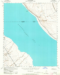
1940 · Durmid
USGS Topo · 1:62,500
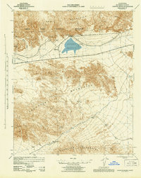
1943 · Canyon Spring
USGS Topo · 1:62,500
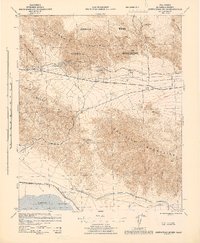
1944 · Cottonwood Spring
USGS Topo · 1:62,500
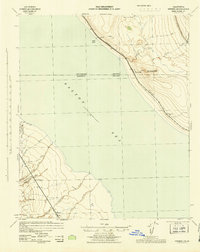
1944 · Durmid
USGS Topo · 1:62,500
1944 · Frink
USGS Topo · 1:62,500

1954 · Salton Sea
USGS Topo · 1:250,000

1955 · Salton Sea
USGS Topo · 1:250,000