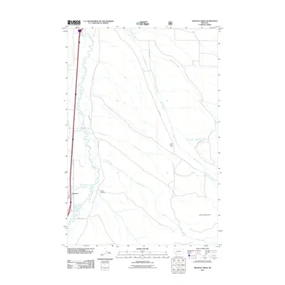
2011 Map of Orofino Creek
USGS Topo · Published 2011About this map
The Clark Fork river valley anchors this 2011 survey, showing a landscape defined by its riparian corridors and technical water management. Near the settlement of Racetrack, the Racetrack Valley Fire Dist serves as a modern community waypoint along the transport corridor of W River Rd. The drainage patterns of Peterson Creek, Caribou Creek, and Orofino Creek illustrate the hydrologic network feeding into the valley from the high ground of O'Donnell Mountain.
Find a feature on this map
21 named features on this map. Tap any name to fly to it.
Don’t see what you’re looking for? This feature index may not catch every label — zoom into the map to look around manually.
Map Details
Editions of this 2011 Orofino Creek Map
This is the sole edition of this map. No revisions or reprints were ever made.
Other maps of this area

1889 · Helena
USGS Topo · 1:250,000

1893 · Helena
USGS Topo · 1:250,000

1899 · Helena
USGS Topo · 1:250,000

1903 · Helena
USGS Topo · 1:250,000

1947 · Butte
USGS Topo · 1:250,000

1958 · Butte
USGS Topo · 1:250,000

1959 · Butte North
USGS Topo · 1:62,500

1959 · Deer Lodge
USGS Topo · 1:62,500

1960 · Butte
USGS Topo · 1:250,000

1961 · Anaconda
USGS Topo · 1:62,500