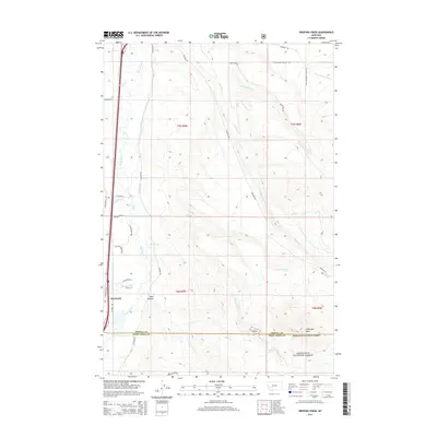
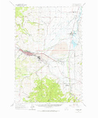
2014 Map of Orofino Creek
USGS Topo · Published 2014About this map
Clark Fork defines the western valley of this landscape, where the settlement of Racetrack sits between the river and the rising eastern foothills. The map reveals a complex water-management network necessary for mountain agriculture, featuring the Valton Ditch and numerous drainages like Dempsey Cr and Orofino Cr flowing down from the high country. In the southeast, the terrain climbs sharply toward O'Donnell Mtn within the Deerlodge National Forest. This 2014 survey documents the persistence of early ranching and transit corridors, where Eastside Rd and Boulder Rd follow the natural contours of the land. Smaller residential and rural markers like Sand Hollow and family-named landmarks such as Reese Anderson Cr provide specific points of interest for those researching the local geography and historical land use of Powell County.
Find a feature on this map
36 named features on this map. Tap any name to fly to it.
Don’t see what you’re looking for? This feature index may not catch every label — zoom into the map to look around manually.
Map Details
Editions of this 2014 Orofino Creek Map
This is the sole edition of this map. No revisions or reprints were ever made.
Other maps of this area
1889 · Helena
USGS Topo · 1:250,000
1893 · Helena
USGS Topo · 1:250,000
1899 · Helena
USGS Topo · 1:250,000
1903 · Helena
USGS Topo · 1:250,000

1947 · Butte
USGS Topo · 1:250,000

1958 · Butte
USGS Topo · 1:250,000
1959 · Butte North
USGS Topo · 1:62,500
1959 · Deer Lodge
USGS Topo · 1:62,500
1960 · Butte
USGS Topo · 1:250,000
1961 · Anaconda
USGS Topo · 1:62,500