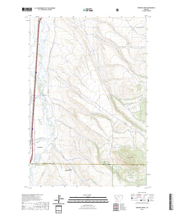
2024 Map of Orofino Creek
USGS Topo · Published 2024About this map
Racetrack sits within the broad valley of the Clark Fork river, a landscape defined by the intersection of riparian lowlands and the ascending slopes of the Boulder Mountains. The western portion of the map is dominated by the river corridor and the essential irrigation network of the Valiton Ditch, which supports the agricultural base of the region. As the terrain rises to the east, it enters the protected boundaries of the Deerlodge National Forest, where high points like O'Donnell Mtn overlook a series of drainages including Orofino Creek, Caribou Creek, and Jack Creek. This transition from the developed valley floor to the forested mountain slopes illustrates the classic land-use patterns of southwestern Montana, where transportation routes like the Frontage Rd parallel the river while old mountain access roads like Boulder Rd climb into the backcountry.
Find a feature on this map
33 named features on this map. Tap any name to fly to it.
Don’t see what you’re looking for? This feature index may not catch every label — zoom into the map to look around manually.
Map Details
Editions of this 2024 Orofino Creek Map
This is the sole edition of this map. No revisions or reprints were ever made.
Other maps of this area

1889 · Helena
USGS Topo · 1:250,000

1893 · Helena
USGS Topo · 1:250,000

1899 · Helena
USGS Topo · 1:250,000

1903 · Helena
USGS Topo · 1:250,000

1947 · Butte
USGS Topo · 1:250,000

1958 · Butte
USGS Topo · 1:250,000

1959 · Butte North
USGS Topo · 1:62,500

1959 · Deer Lodge
USGS Topo · 1:62,500

1960 · Butte
USGS Topo · 1:250,000

1961 · Anaconda
USGS Topo · 1:62,500