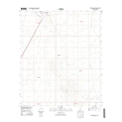
2013 Map of Orogrande South
USGS Topo · Published 2013About this map
Orogrande sits at the northern edge of this high-desert study, where the Tularosa Basin meets the foothills of the southern Otero County ranges. The settlement's small grid is anchored by a Po and defined by local thoroughfares such as Woodson Ave, Nelle Ave, and Gordan St. This geography is shaped by the transition from the arid flats of the Tularosa Valley to the elevated terrain of the Jarilla Mountains, as indicated by the complex contouring south of the townsite. The primary transportation artery, Us-54 N, bisects the valley floor, providing a vital corridor through the basin. Further south and east, the landscape becomes increasingly sparse, marked primarily by water management features like Sulphur Tank and Road Tank. The presence of the Oregrande Range Camp Rd points toward the area's strategic use for military transit and range access in this expansive desert environment.
Find a feature on this map
19 named features on this map. Tap any name to fly to it.
Don’t see what you’re looking for? This feature index may not catch every label — zoom into the map to look around manually.
Map Details
Editions of this 2013 Orogrande South Map
This is the sole edition of this map. No revisions or reprints were ever made.
Other maps of this area
1940 · Bassett Lake
USGS Topo · 1:62,500
1940 · Orogrande
USGS Topo · 1:62,500
1941 · Desert
USGS Topo · 1:62,500
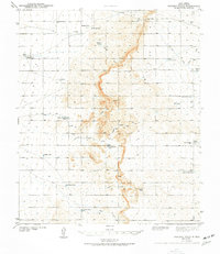
1943 · Pendejo Wash
USGS Topo · 1:62,500
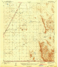
1943 · Desert
USGS Topo · 1:62,500
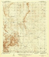
1943 · Bassett Lake
USGS Topo · 1:62,500
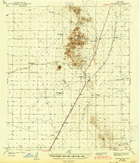
1943 · Orogrande
USGS Topo · 1:62,500
1947 · Desert NE
USGS Topo · 1:24,000
1947 · Orogrande North
USGS Topo · 1:24,000
1948 · El Wood
USGS Topo · 1:24,000